| THE Spitsbergen guidebook |
Monthly Archives: December 2011 − News & Stories
Polar bears
An interesting article about polar bears in the light of climate change has been published by the Russian Academy of Science. Click here to read the article.
Little polar bear family in northern Spitsbergen. Polar bears have to cope with climate change and environmental toxins and face accordingly an uncertain future.

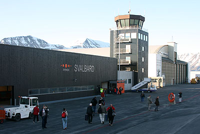
Libya and the north pole
The new Libyan government has announced a flight to the north pole together with representatives of NATO member states that took part in the 2011 military campaign. The flight aims at an increase of the feeling for togetherness within the Libyan society and a positive reception in the world public.
The Sysselmannen has, however, denied permission for a fuel stop in Longyearbyen. The organizers of the flight said they were disappointed and would try to take the issue up to a political level.
Longyearbyen airport: Not available to the Libyan government on their way to the north pole.