-
current
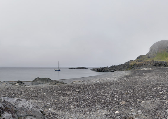
recommendations- Liefdefjord
New page dedicated to one of Spitsbergen's most beautiful fjords. Background information and many photos.

- New Spitsbergen guidebook
The new edition of my Spitsbergen guidebook is out and available now!

- Liefdefjord
New page dedicated to one of Spitsbergen's most beautiful fjords. Background information and many photos.
-
weather information

| THE Spitsbergen guidebook |
Karl XII-øya
360° Panorama
- pano anchor link: #1600809a_Karl-XII-Oya_208HDR
The end of the world and beyond! It does not get much remoter, certainly not in Svalbard. Karl XII-øya is a small, narrow, slightly longish island on the northeastern rim of Svalbard, well beyond 80 degrees north. Most of the island is made up of an elongated, low-lying rocky hill, which is partly covered with gravel. Only on the northern end, there is the hill Drabanten. With a height of 105 metres you can’t really call it a mountain but it is the highest thing anywhere here. Its steep slopes are home to a seabird colony, mostly kittiwakes. Of course it is quite common for polar bears to hang out under the bird cliff, waiting for the occasional egg or chick to fall out of the nest, at least as long the island is not surrounded by ice. So when the area is ice-free, it is quite common to find a polar bear on the island. And if there is ice around it, you don’t get ashore anyway. Landings on Karl XII-øya are, in other words, a rare opportunity!
Karl XII-øya has sometimes been described as one island in history and on other occasions as two islands separated from each other by a narrow, shallow channel. When I photographed this panorama, in August 2016, it was clearly two separate islands – the channel was definitely too deep to be crossed with rubber boots, and then it qualifies as two islands, if you ask me 🙂
BOOKS, CALENDAR, POSTCARDS AND MORE
This and other publishing products of the Spitsbergen publishing house in the Spitsbergen-Shop.
-

Norwegens arktischer Norden (1): Spitzbergen
Photobook: Norway's arctic islands. The text in this book is German. [shop url="https://shop.spitzbergen.de/en/polar-books/70-norwegens-arktischer-norden-1-aerial-arctic-9783937903262.html"] ← BackOrder now -

Norwegens arktischer Norden (2): Aerial Arctic
Lofoten, Jan Mayen and Spitsbergen from the air - Photobook: Norway's arctic islands. The text in this book is German, but there is very little text, so I am sure that you will enjoy it regardless which languages you read (or not).Order now -

Poster “Svalbardhytter”
The poster "Svalbardhytter" (70 x 100 cm) visualizes the diversity of Spitsbergen's huts in a range of arctic landscapes.Order now -

Book “Svalbardhytter”
The companion book for the Svalbardhytter poster. The poster visualises the diversity of Spitsbergen‘s huts and their stories in a range of Arctic landscapes. The book tells the stories of the huts in three languages.Order now -

Spitsbergen – Svalbard. The complete guidebook
Comprehensive guidebook about Spitsbergen. Background (wildlife, plants, geology, history etc.), practical information including travelling seasons, how to travel, description of settlements, routes and regions.Order now -

Rocks and Ice. Landscapes of the North
A geographical traveling accompaniment to Spitsbergen and East Greenland (68-74°N). This is the English edition of the German book "Steine und Eis".Order now -

East Greenland in Winter
Join an exciting journey with dog, skis and tent through the wintery wastes of East Greenland! We were five guys and a dog when we started in Ittoqqortoormiit, the northernmost one of two settlements on Greenland’s east coast.Order now -

Postcard set Spitsbergen (Svalbard)
12 Spitsbergen postcards in a beautifully designed tray. Individually numbered limited edition!Order now -

Limited edition postcard set Antarctica
12 postcards which come in a beautifully designed tray. Beautiful images from South Georgia across Antarctica from the Antarctic Peninsula to the Ross Sea and up to Macquarie Island and Campbell Island.Order now
last modification: 2019-05-12 ·
copyright: Rolf Stange
-
Books, Calendar, Postcards and more

-


