-
current
recommendations- Liefdefjord
New page dedicated to one of Spitsbergen's most beautiful fjords. Background information and many photos.

- New Spitsbergen guidebook
The new edition of my Spitsbergen guidebook is out and available now!

- Liefdefjord
New page dedicated to one of Spitsbergen's most beautiful fjords. Background information and many photos.
-
weather information

| THE Spitsbergen guidebook |
Raschøya
360° panorama view of Nordaustland's glaciers
Raschøya is a small, remote, desolate island off Orvin Land, as the northeast part of Nordaustland is called. It is in uncharted waters with many small islands and islets and accordingly rarely visited. And what would you want to do or see there? There is not much wildlife other than a few ground-breeding birds such as arctic terns (but there might always be a polar bear behind any rock). It is rather the feeling of remoteness and desolation, the idea of being at the end of the earth, that makes Raschøya an exciting place to visit for those who have a sense for it.
- pano anchor link: #1600810c_Raschoya_063
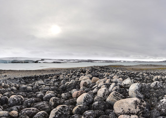
And then, there is Nordaustland, of course, with its mighty ice caps. Orvin Land is mostly ice-covered, and from Raschøya you have got a stunning view of the mighty glacier Leighbreen and the ice cap Austfonna behind it. This stunning arctic panorama will make any visitor feel very small!
- pano anchor link: #1600810c_Raschoya_186

There is a cairn on top of Raschøya which is obviously old. The island was visited by Albertini in 1929, who was trying to find further remains of Nobile’s ill-fated Italia-expedition. Maybe Albertini built the cairn in 1929.
BOOKS, CALENDAR, POSTCARDS AND MORE
This and other publishing products of the Spitsbergen publishing house in the Spitsbergen-Shop.
-

Norwegens arktischer Norden (1): Spitzbergen
Photobook: Norway's arctic islands. The text in this book is German. [shop url="https://shop.spitzbergen.de/en/polar-books/70-norwegens-arktischer-norden-1-aerial-arctic-9783937903262.html"] ← BackOrder now -

Norwegens arktischer Norden (2): Aerial Arctic
Lofoten, Jan Mayen and Spitsbergen from the air - Photobook: Norway's arctic islands. The text in this book is German, but there is very little text, so I am sure that you will enjoy it regardless which languages you read (or not).Order now -

Poster “Svalbardhytter”
The poster "Svalbardhytter" (70 x 100 cm) visualizes the diversity of Spitsbergen's huts in a range of arctic landscapes.Order now -

Book “Svalbardhytter”
The companion book for the Svalbardhytter poster. The poster visualises the diversity of Spitsbergen‘s huts and their stories in a range of Arctic landscapes. The book tells the stories of the huts in three languages.Order now -

Spitsbergen – Svalbard. The complete guidebook
Comprehensive guidebook about Spitsbergen. Background (wildlife, plants, geology, history etc.), practical information including travelling seasons, how to travel, description of settlements, routes and regions.Order now -

Rocks and Ice. Landscapes of the North
A geographical traveling accompaniment to Spitsbergen and East Greenland (68-74°N). This is the English edition of the German book "Steine und Eis".Order now -

East Greenland in Winter
Join an exciting journey with dog, skis and tent through the wintery wastes of East Greenland! We were five guys and a dog when we started in Ittoqqortoormiit, the northernmost one of two settlements on Greenland’s east coast.Order now -

Postcard set Spitsbergen (Svalbard)
12 Spitsbergen postcards in a beautifully designed tray. Individually numbered limited edition!Order now -

Limited edition postcard set Antarctica
12 postcards which come in a beautifully designed tray. Beautiful images from South Georgia across Antarctica from the Antarctic Peninsula to the Ross Sea and up to Macquarie Island and Campbell Island.Order now
last modification: 2019-05-12 ·
copyright: Rolf Stange
-
Books, Calendar, Postcards and more

-


