-
current
recommendations- Liefdefjord
New page dedicated to one of Spitsbergen's most beautiful fjords. Background information and many photos.
- New Spitsbergen guidebook
The new edition of my Spitsbergen guidebook is out and available now!
- Liefdefjord
New page dedicated to one of Spitsbergen's most beautiful fjords. Background information and many photos.
Page Structure
-
Spitsbergen-News
- Select Month
- April 2025
- March 2025
- February 2025
- January 2025
- December 2024
- November 2024
- October 2024
- September 2024
- August 2024
- July 2024
- June 2024
- May 2024
- April 2024
- March 2024
- February 2024
- January 2024
- December 2023
- November 2023
- October 2023
- September 2023
- August 2023
- July 2023
- June 2023
- May 2023
- April 2023
- March 2023
- February 2023
- January 2023
- December 2022
- November 2022
- October 2022
- September 2022
- August 2022
- July 2022
- June 2022
- May 2022
- April 2022
- March 2022
- February 2022
- January 2022
- December 2021
- November 2021
- October 2021
- September 2021
- August 2021
- July 2021
- June 2021
- May 2021
- April 2021
- March 2021
- February 2021
- January 2021
- December 2020
- November 2020
- October 2020
- September 2020
- August 2020
- July 2020
- June 2020
- May 2020
- April 2020
- March 2020
- February 2020
- January 2020
- December 2019
- November 2019
- October 2019
- September 2019
- August 2019
- July 2019
- June 2019
- May 2019
- April 2019
- March 2019
- February 2019
- January 2019
- December 2018
- November 2018
- October 2018
- September 2018
- August 2018
- July 2018
- June 2018
- May 2018
- April 2018
- March 2018
- February 2018
- January 2018
- December 2017
- November 2017
- October 2017
- September 2017
- August 2017
- July 2017
- June 2017
- May 2017
- April 2017
- March 2017
- February 2017
- January 2017
- December 2016
- November 2016
- October 2016
- September 2016
- August 2016
- July 2016
- June 2016
- May 2016
- April 2016
- March 2016
- February 2016
- January 2016
- December 2015
- November 2015
- October 2015
- September 2015
- August 2015
- July 2015
- June 2015
- May 2015
- April 2015
- March 2015
- February 2015
- January 2015
- December 2014
- November 2014
- October 2014
- September 2014
- August 2014
- July 2014
- June 2014
- May 2014
- April 2014
- March 2014
- February 2014
- January 2014
- December 2013
- November 2013
- October 2013
- September 2013
- August 2013
- July 2013
- June 2013
- May 2013
- April 2013
- March 2013
- February 2013
- January 2013
- December 2012
- November 2012
- October 2012
- September 2012
- August 2012
- July 2012
- June 2012
- May 2012
- April 2012
- March 2012
- February 2012
- January 2012
- December 2011
- November 2011
- October 2011
- September 2011
- August 2011
- May 2011
- April 2011
- March 2011
- February 2011
- January 2011
- December 2010
- November 2010
- September 2010
- August 2010
- July 2010
- June 2010
- May 2010
- April 2010
- March 2010
- February 2010
- November 2009
- October 2009
- August 2009
- July 2009
- June 2009
- May 2009
- April 2009
- March 2009
- February 2009
- January 2009
- December 2008
- November 2008
- October 2008
- August 2008
- July 2008
- June 2008
- May 2008
- April 2008
- March 2008
- February 2008
- April 2000
- Select Month
-
weather information
-
Newsletter

| Guidebook: Spitsbergen-Svalbard |
Home → * Triplogs with photo galleries → Arctic 2022 → Spitsbergen 26 august – 8 september 2022 with SV Meander → Spitsbergen 26 August – 8 September 2022, part 2
Around Spitsbergen Spitzbergen 26 August - 8 September 2022 with SV Meander
Part 2: From Isbukta to Edgeøya and Barentsøya

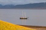
SV Meander anchored off Edgeøya.
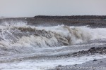
South Cape was just what it usually is: an obstacle that can be navigated in an ok way with the help of weather forecasts and some planning, then it is just a couple of miles with a bit of swell. But we had weather forecasts and did our homework with the planning.
Isbukta, a place with generally stunning scenery, was kind of hidden in pretty dull, grey wather. But then …
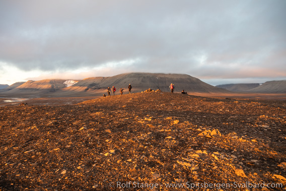
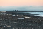
Evening walk on Edgeøya.
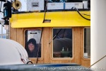
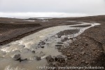
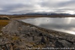
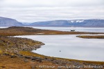
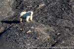
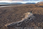
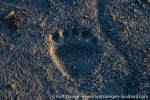
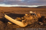
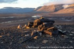
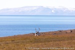
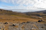
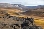
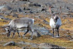
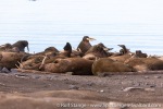
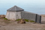
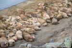
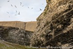
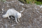
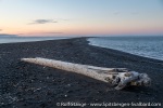
… things changed as we arrived on the other side of Storfjord, at Edgeøya and Barentsøya. There, we made a good couple of great landings, starting in Habenichtbukta (a short landing, for reasons related to polar bears), then to Gothavika and Diskobukta – an unforgettable evening landing! – and the Rosenbergdalen / Dolerittneset (“Kapp Lee”) area. Then off to Freemansund, to Büdelfjellet on Barentsøya (birds, birds, birds) and Zeiløyane (yet another unforgettable evening landing).
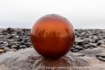
Photogallery 2: From Isbukta to Edgeøya and Barentsøya
- gallery anchor link: #gallery_2465
Click on thumbnail to open an enlarged version of the specific photo.
To page/photo gallery: → The southern west coast (Isfjord to Dunderbukta) → From Isbukta to Edgeøya and Barentsøya → Nordaustland and Hinlopen Strait → From Raudfjord to Isfjord
BOOKS, CALENDAR, POSTCARDS AND MORE
This and other publishing products of the Spitsbergen publishing house in the Spitsbergen-Shop.
last modification: 2022-10-25 ·
copyright: Rolf Stange
