-
current
recommendations- Liefdefjord
New page dedicated to one of Spitsbergen's most beautiful fjords. Background information and many photos.

- New Spitsbergen guidebook
The new edition of my Spitsbergen guidebook is out and available now!

- Liefdefjord
New page dedicated to one of Spitsbergen's most beautiful fjords. Background information and many photos.
Page Structure
-
Spitsbergen-News
- Select Month
- April 2025
- March 2025
- February 2025
- January 2025
- December 2024
- November 2024
- October 2024
- September 2024
- August 2024
- July 2024
- June 2024
- May 2024
- April 2024
- March 2024
- February 2024
- January 2024
- December 2023
- November 2023
- October 2023
- September 2023
- August 2023
- July 2023
- June 2023
- May 2023
- April 2023
- March 2023
- February 2023
- January 2023
- December 2022
- November 2022
- October 2022
- September 2022
- August 2022
- July 2022
- June 2022
- May 2022
- April 2022
- March 2022
- February 2022
- January 2022
- December 2021
- November 2021
- October 2021
- September 2021
- August 2021
- July 2021
- June 2021
- May 2021
- April 2021
- March 2021
- February 2021
- January 2021
- December 2020
- November 2020
- October 2020
- September 2020
- August 2020
- July 2020
- June 2020
- May 2020
- April 2020
- March 2020
- February 2020
- January 2020
- December 2019
- November 2019
- October 2019
- September 2019
- August 2019
- July 2019
- June 2019
- May 2019
- April 2019
- March 2019
- February 2019
- January 2019
- December 2018
- November 2018
- October 2018
- September 2018
- August 2018
- July 2018
- June 2018
- May 2018
- April 2018
- March 2018
- February 2018
- January 2018
- December 2017
- November 2017
- October 2017
- September 2017
- August 2017
- July 2017
- June 2017
- May 2017
- April 2017
- March 2017
- February 2017
- January 2017
- December 2016
- November 2016
- October 2016
- September 2016
- August 2016
- July 2016
- June 2016
- May 2016
- April 2016
- March 2016
- February 2016
- January 2016
- December 2015
- November 2015
- October 2015
- September 2015
- August 2015
- July 2015
- June 2015
- May 2015
- April 2015
- March 2015
- February 2015
- January 2015
- December 2014
- November 2014
- October 2014
- September 2014
- August 2014
- July 2014
- June 2014
- May 2014
- April 2014
- March 2014
- February 2014
- January 2014
- December 2013
- November 2013
- October 2013
- September 2013
- August 2013
- July 2013
- June 2013
- May 2013
- April 2013
- March 2013
- February 2013
- January 2013
- December 2012
- November 2012
- October 2012
- September 2012
- August 2012
- July 2012
- June 2012
- May 2012
- April 2012
- March 2012
- February 2012
- January 2012
- December 2011
- November 2011
- October 2011
- September 2011
- August 2011
- May 2011
- April 2011
- March 2011
- February 2011
- January 2011
- December 2010
- November 2010
- September 2010
- August 2010
- July 2010
- June 2010
- May 2010
- April 2010
- March 2010
- February 2010
- November 2009
- October 2009
- August 2009
- July 2009
- June 2009
- May 2009
- April 2009
- March 2009
- February 2009
- January 2009
- December 2008
- November 2008
- October 2008
- August 2008
- July 2008
- June 2008
- May 2008
- April 2008
- March 2008
- February 2008
- April 2000
- Select Month
-
weather information
-
Newsletter

| Guidebook: Spitsbergen-Svalbard |
Kvitøya
Andréeneset: the final camp of the Andrée-expedition
General
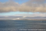
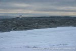
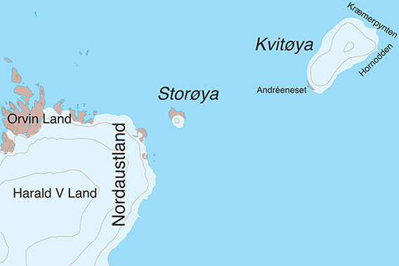
Kvitøya (“White Island”) is the remotest island of the Svalbard archipelago at 80°N/32°30’E. Kræmerpynten, the eastern point, is the easternmost part of Norway. From here, it is only approximately 40 nautical miles to Victoria Island, which belongs to Russia. Kvitøya has an E-W extension of 44 kilometres and an area of 250 km2. It is almost completely ice-covered and belongs to the Northeast Svalbard Nature Reserve. The climate is high-arctic, it is surrounded by heavy pack ice for most of the year – or at least, this was the case until some years ago. Now, in the times of climate change, the island is usually accessible at least late in the summer season. Kvitøya is known for being the place where the Swede Salomon August Andrée and his to companions, Knut Frænkel and Nils Strindberg, died in 1897 (see ‘history’ section below). Landscape-wise and biologically, it is a link between Svalbard and Franz Josef Land further east.
For more, detailed information: the Guidebook Spitsbergen-Svalbard

Geology
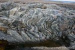
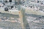
Gneiss (Andréeneset and Basalt (Kræmerpynten), both part of the basement. The basement basalts of Kræmerpynten are quite rare, other than here, they occur only on Storøya, between Kvitøya and Nordaustland.
Most of the island is covered with an ice cap, hence the name Kvitøya (“White Island”), or Vidön in Swedish, the name you will find in some of the books about the Andrée expedition.
Recommended book for further, well-digestable (really!) info about geology and landscape of Svalbard.
Landscape
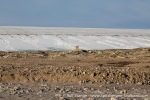
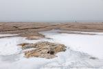
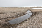
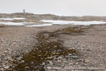
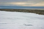
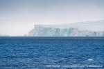
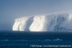
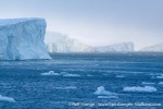
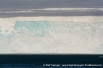
Kvitøya is almost completely covered by an ice cap with the classical, hourglass-shaped dome. The few ice-free land areas are each only a few km2 large and very barren and rocky.

Ice cap of Kvitøya.
Flora and Fauna
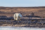
The ice cap is completely dead, other than the occasionally polar bear passing through or some snow algae, but otherwise there is nothing living up there. On the ice-free parts, there are moss beds which can be very colourful, but most of the ground is free of vegetation. Due to the flat topography, there are no cliff-breeding seabirds, but there are some Arctic tern colonies and some other birds are breeding, including Red throated divers. Polar bears and walrus are quite common, the latter ones having haul-out sites there with a higher proportion of females and calves than further west in Spitsbergen. This is more typical for Franz Josef Land, where most females spend their time, whereas males tend to hang out in Svalbard. Walrus groups with females and calves tend to be more aggressive than males.
History
Kvitøya was discovered probably already 1707 by the Dutchman Cornelis Giles. Under the name ‘Giles Land’ (different spellings exist) it was seen on maps in different shapes, sizes and positions throughout the centuries. Even today, the shape is wrong on many maps, where it is shown to be much narrower than it actually is (the scetch map above gives the correct shape).
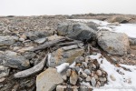
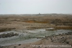
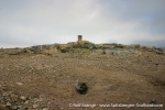
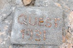
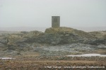
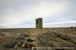
Kvitøya is well known because Andrée and his two fellows, Frænkel and Strindberg, landed on its western point, now known as Andréeneset, after their ill-fated balloon expedition in 1897 from Virgohamna on Danskøya. After a long Odyssey over the ice, they reached Andréeneset on 05 October and died there after a few weeks. Their last camp was found only in 1930, there is a simple concrete memorial at the site.
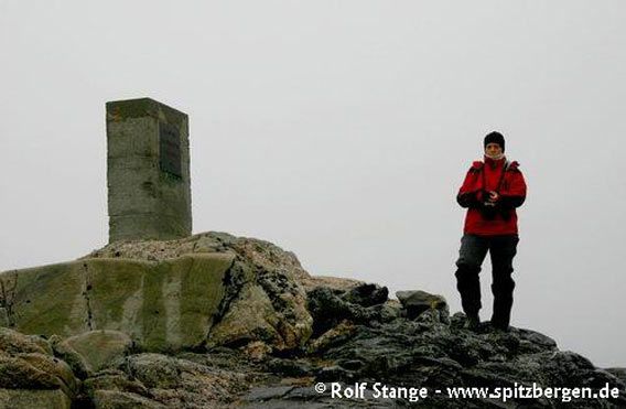
Memorial for the Andrée-Expedition.
The cause of death has been a matter of debate ever since. Scurvy, starvation, exhaustion, trichinosis, polar bears and cold were naturally amongst the first suspects, and a combination of any of these may have been possible. Poisoning from carbon monoxide or lead (from tins) has been discussed, and more recently also botulism. The Swedish author Bea Uusma has done a lot of work about this and she has published a very remmonendable books about it (“The Expedition. Solving the Mystery of a Polar Tragedy”) and she has announced to continue this work.

Nils Strindberg was buried 1897 in this crevasse.
There is a page on this website dedicated to the site of the last camp of Andrée, Frænkel and Strindberg, with a 360 degree panorama image. Click here to access this page.
Photo gallery – Kvitøya
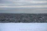
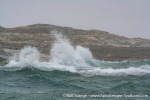
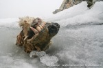
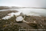
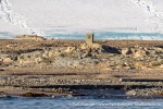
There are actually two photo galleries, the first one giving some general impressions of Kvitøya, its landscape and some wildlife, while the second one is dedicated to the site of Andrée’s final camp including the memorial that is standing there.
- gallery anchor link: #gallery_2971
Click on thumbnail to open an enlarged version of the specific photo.
Gallery – Andréeneset: the last camp of Andrée, Frænkel and Strindberg
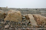
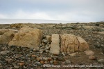
The crevasse in the rock filled with stones visible in several of the photos was Strindberg’s grave.
- gallery anchor link: #gallery_2974
Click on thumbnail to open an enlarged version of the specific photo.
BOOKS, CALENDAR, POSTCARDS AND MORE
This and other publishing products of the Spitsbergen publishing house in the Spitsbergen-Shop.
last modification: 2023-12-27 ·
copyright: Rolf Stange
