-
current
recommendations- Liefdefjord
New page dedicated to one of Spitsbergen's most beautiful fjords. Background information and many photos.
- New Spitsbergen guidebook
The new edition of my Spitsbergen guidebook is out and available now!
- Liefdefjord
New page dedicated to one of Spitsbergen's most beautiful fjords. Background information and many photos.
Page Structure
-
Spitsbergen-News
- Select Month
- April 2025
- March 2025
- February 2025
- January 2025
- December 2024
- November 2024
- October 2024
- September 2024
- August 2024
- July 2024
- June 2024
- May 2024
- April 2024
- March 2024
- February 2024
- January 2024
- December 2023
- November 2023
- October 2023
- September 2023
- August 2023
- July 2023
- June 2023
- May 2023
- April 2023
- March 2023
- February 2023
- January 2023
- December 2022
- November 2022
- October 2022
- September 2022
- August 2022
- July 2022
- June 2022
- May 2022
- April 2022
- March 2022
- February 2022
- January 2022
- December 2021
- November 2021
- October 2021
- September 2021
- August 2021
- July 2021
- June 2021
- May 2021
- April 2021
- March 2021
- February 2021
- January 2021
- December 2020
- November 2020
- October 2020
- September 2020
- August 2020
- July 2020
- June 2020
- May 2020
- April 2020
- March 2020
- February 2020
- January 2020
- December 2019
- November 2019
- October 2019
- September 2019
- August 2019
- July 2019
- June 2019
- May 2019
- April 2019
- March 2019
- February 2019
- January 2019
- December 2018
- November 2018
- October 2018
- September 2018
- August 2018
- July 2018
- June 2018
- May 2018
- April 2018
- March 2018
- February 2018
- January 2018
- December 2017
- November 2017
- October 2017
- September 2017
- August 2017
- July 2017
- June 2017
- May 2017
- April 2017
- March 2017
- February 2017
- January 2017
- December 2016
- November 2016
- October 2016
- September 2016
- August 2016
- July 2016
- June 2016
- May 2016
- April 2016
- March 2016
- February 2016
- January 2016
- December 2015
- November 2015
- October 2015
- September 2015
- August 2015
- July 2015
- June 2015
- May 2015
- April 2015
- March 2015
- February 2015
- January 2015
- December 2014
- November 2014
- October 2014
- September 2014
- August 2014
- July 2014
- June 2014
- May 2014
- April 2014
- March 2014
- February 2014
- January 2014
- December 2013
- November 2013
- October 2013
- September 2013
- August 2013
- July 2013
- June 2013
- May 2013
- April 2013
- March 2013
- February 2013
- January 2013
- December 2012
- November 2012
- October 2012
- September 2012
- August 2012
- July 2012
- June 2012
- May 2012
- April 2012
- March 2012
- February 2012
- January 2012
- December 2011
- November 2011
- October 2011
- September 2011
- August 2011
- May 2011
- April 2011
- March 2011
- February 2011
- January 2011
- December 2010
- November 2010
- September 2010
- August 2010
- July 2010
- June 2010
- May 2010
- April 2010
- March 2010
- February 2010
- November 2009
- October 2009
- August 2009
- July 2009
- June 2009
- May 2009
- April 2009
- March 2009
- February 2009
- January 2009
- December 2008
- November 2008
- October 2008
- August 2008
- July 2008
- June 2008
- May 2008
- April 2008
- March 2008
- February 2008
- April 2000
- Select Month
-
weather information
-
Newsletter

| Guidebook: Spitsbergen-Svalbard |
Home → * Photos, Panoramas, Videos and Webcams → Spitsbergen Panoramas → Vibebukta-Bråsvellbreen
Vibebukta: the last ice-free land next to Bråsvellbreen

The transition from Vibebukta to Bråsvellbreen on the south side of Nordaustland.
There is a small patch of land in the furthest east corner of Vibebukta, bounded by the sea on one side and by the huge glacier of Bråsvellbreen, which is part of Austfonna. This page is about this little piece of land. There is another one dedicated to Vibebukta “proper”, the wide, ice-free land area to the north of Bråsvellbreen.
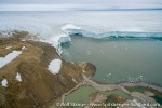
As so often, one picture says more than a thousand words to describe the geography of this bizarre place. Especially if it is a picture like this, taken from a bird’s eye’s perspective 🙂

The last bit of ice-free land in Vibebukta from a bird’s eye’s perspective,
viewing towars the east (to the glacier).
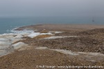
The piece of land in question is almost an island next to the ice cap of Austfonna. It is just a few hundred metres across and the last bit of ice-free land to the east – from here, the country and coastline are completely glacier-covered!
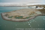
This is illustrated by another aerial photograph:

The last bit of ice-free land in Vibebukta from an aerial perspective, looking to the north.
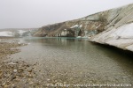
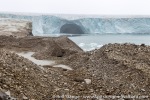
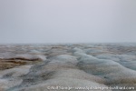
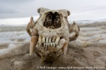
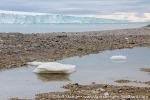
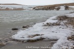
This “island” is very barren, it is mainly meltwater sand and gravel; sediment washed together by meltwater from the adjacent glacier and its moraines. The only “inhabitants” are polar bears that are migrating through the area quite regularly.
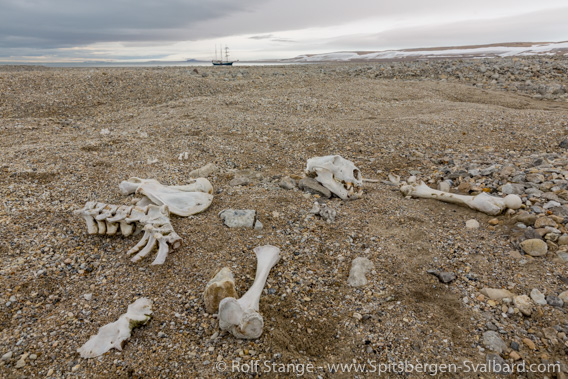
Polar bear bones.
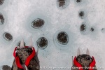
On one occasion we started from here for a glacier hike up to the ice cap of Austfonna. It was just a short hike, not at all to the central parts of the ice cap. But enough for an impressive experience (there are some pictures in the photo gallery below). It is definitely an exciting feeling to stand on this huge ice cap even if it is close to the rim. Wild stuff! Most people who are lucky enough to see this magnificent part of the world have the position from a ship, looking towards the glacier. Which is, without any doubt, a great experience. But the view down from the glacier to the sea is something very special and certainly quite different from the “usual” perspective, also without any doubt.

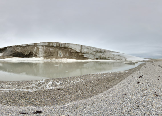
View over Bråsvellbreen.
Panorama: the last ice-free land next to Bråsvellbreen
A 360 degree view of this wild, barren landscape.
- pano anchor link: #Vibebukta_09Juli13_086
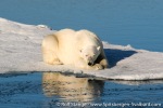
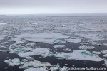
But the sea ice is just as well part of Vibebukta. There is often drift ice there also in the summer, and the ice is home to a range of arctic animals. I enjoyed some of my most beautiful sightings of polar bears and walruses in ice-covered waters in Vibebukta. Just one example here – there are other ones in the photo gallery at the bottom of this page.
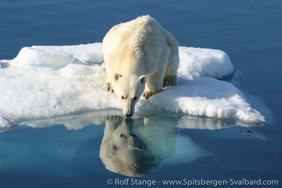
Polar bear in Vibebukta.
Vibebukta-Bråsvellbreen: Photo gallery
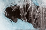
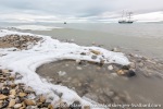
Finally some impressions from this very last bit of ice-free land in Vibebukta and some of the other beauties that the place may have. This includes some older images. Technically, the quality of the photo of the bear that is feasting on a bearded seal does not live up to today’s standards … I took the photo in 2005 with my first decent digital camera in those times (a Canon 300D). The memory is part of what makes the photo precious for me. No excuses are made for a photo like this being in the selection 🙂
- gallery anchor link: #gallery_2115
Click on thumbnail to open an enlarged version of the specific photo.
BOOKS, CALENDAR, POSTCARDS AND MORE
This and other publishing products of the Spitsbergen publishing house in the Spitsbergen-Shop.
last modification: 2023-10-01 ·
copyright: Rolf Stange
