-
current
recommendations- Liefdefjord
New page dedicated to one of Spitsbergen's most beautiful fjords. Background information and many photos.
- New Spitsbergen guidebook
The new edition of my Spitsbergen guidebook is out and available now!
- Liefdefjord
New page dedicated to one of Spitsbergen's most beautiful fjords. Background information and many photos.
Page Structure
-
Spitsbergen-News
- Select Month
- June 2025
- May 2025
- April 2025
- March 2025
- February 2025
- January 2025
- December 2024
- November 2024
- October 2024
- September 2024
- August 2024
- July 2024
- June 2024
- May 2024
- April 2024
- March 2024
- February 2024
- January 2024
- December 2023
- November 2023
- October 2023
- September 2023
- August 2023
- July 2023
- June 2023
- May 2023
- April 2023
- March 2023
- February 2023
- January 2023
- December 2022
- November 2022
- October 2022
- September 2022
- August 2022
- July 2022
- June 2022
- May 2022
- April 2022
- March 2022
- February 2022
- January 2022
- December 2021
- November 2021
- October 2021
- September 2021
- August 2021
- July 2021
- June 2021
- May 2021
- April 2021
- March 2021
- February 2021
- January 2021
- December 2020
- November 2020
- October 2020
- September 2020
- August 2020
- July 2020
- June 2020
- May 2020
- April 2020
- March 2020
- February 2020
- January 2020
- December 2019
- November 2019
- October 2019
- September 2019
- August 2019
- July 2019
- June 2019
- May 2019
- April 2019
- March 2019
- February 2019
- January 2019
- December 2018
- November 2018
- October 2018
- September 2018
- August 2018
- July 2018
- June 2018
- May 2018
- April 2018
- March 2018
- February 2018
- January 2018
- December 2017
- November 2017
- October 2017
- September 2017
- August 2017
- July 2017
- June 2017
- May 2017
- April 2017
- March 2017
- February 2017
- January 2017
- December 2016
- November 2016
- October 2016
- September 2016
- August 2016
- July 2016
- June 2016
- May 2016
- April 2016
- March 2016
- February 2016
- January 2016
- December 2015
- November 2015
- October 2015
- September 2015
- August 2015
- July 2015
- June 2015
- May 2015
- April 2015
- March 2015
- February 2015
- January 2015
- December 2014
- November 2014
- October 2014
- September 2014
- August 2014
- July 2014
- June 2014
- May 2014
- April 2014
- March 2014
- February 2014
- January 2014
- December 2013
- November 2013
- October 2013
- September 2013
- August 2013
- July 2013
- June 2013
- May 2013
- April 2013
- March 2013
- February 2013
- January 2013
- December 2012
- November 2012
- October 2012
- September 2012
- August 2012
- July 2012
- June 2012
- May 2012
- April 2012
- March 2012
- February 2012
- January 2012
- December 2011
- November 2011
- October 2011
- September 2011
- August 2011
- May 2011
- April 2011
- March 2011
- February 2011
- January 2011
- December 2010
- November 2010
- September 2010
- August 2010
- July 2010
- June 2010
- May 2010
- April 2010
- March 2010
- February 2010
- November 2009
- October 2009
- August 2009
- July 2009
- June 2009
- May 2009
- April 2009
- March 2009
- February 2009
- January 2009
- December 2008
- November 2008
- October 2008
- August 2008
- July 2008
- June 2008
- May 2008
- April 2008
- March 2008
- February 2008
- April 2000
- Select Month
-
weather information
-
Newsletter

| Guidebook: Spitsbergen-Svalbard |
Farmhamna
Trapper-station on Spitsbergen's west coast

Farmhamna is situated on Spitsbergen’s west coast, 60 km away from Longyearbyen.
It is about 40 km to Barentsburg and 65 km to Ny-Ålesund.
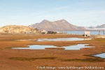
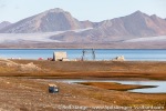
Farmhamna is in Forlandsund, not far north of Isfjord. The landscape is characterised by a wide-open coastal plain with low rocky hills and tundra areas, little lakes and wetlands.
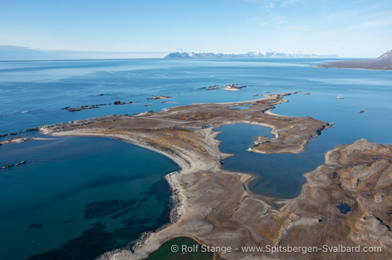
Farmhamna from a bird’s perspective.
This photo, obviously taken from an aerial perspective, gives a good overview of the geography of Farmhamna. Strictly speaking, the name “Farmhamna” designates the bay and lagoon that separate the peninsula from the mainland. The peninsula itself is named “Hamnetangen”, which means “Harbour headland”, obviously referring to a natural harbour and not to any major piece of marine infrastructure. That doesn’t exist in this area. And the natural harbour is really only for small vessels with a shallow draft.
The trapper station known as Farmhamna is almost at the end of the long headland to the right of and just above the image centre, behind the little lakes.
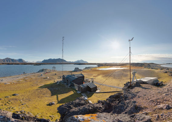
Panorama 1 – Farmhamna: the trapper station
- pano anchor link: #210910a_Farmhamna_043HDR
Fangststasjon Farmhamna.
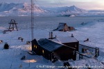
Farmhamna Fangststasjon (Trapper station, hunting cabin) was built in 1991 by the Danish-Norwegian couple Hans and Marianne Lund. They ran Farmhamna for a number of years as their base for hunting and living. Amongst others, their beuatiful seal skin products, handmade on site, achieved good reputation in Longyearbyen.
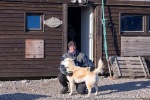
Later, the station was aquired by Rico and Karoline from Longyearbyen, who keep the place as a hunting station. Amongst their specialties is reindeer meat that is popular amongst locals in Longyearbyen in the season (early autumn). If you want to know more about what Rico and Karoline are doing in Farmhamna, then you can visit their webseite (click here). Even arctic hunters are online these days 🙂
The Farmhamna hunting station, built much more recently than most other huts in Spitsbergen related to hunting and trapping, is comparatively comfortable. Next to the reasonably spacious main hut, there is the so-called “A-hut”, so named due to its A-shaped cross section. The A-hut has a little workshop, storage and an emergency shelter where you can even survive for a while if you have to escape from the burning main hut with nothing but your underwear – indeed a worst case scenario!
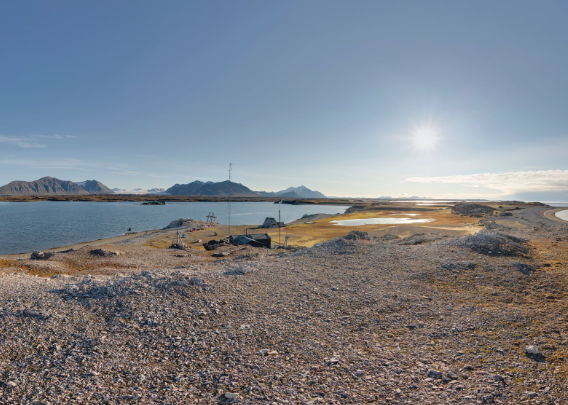
Panorama 2 – Farmhamna: telephone hill (1)
- pano anchor link: #210910a_Farmhamna_059HDR
Farmhamna: telephone hill (1)
Here we are on “telephone hill”, a low rocky hill directly behind the main hut and named so because on top you have a reasonably reliable mobile phone connection. And although telephone hill is just a few metres high, it offers splendid views over the hunting station and its surroundings. From here, we can also see that there are two more subsidiary buildings between the main hut and the hill: the “battery house” (left) and the “garage”, both with storage, equipment, some technical infrastructure etc.
Panorama 3 – Farmhamna: telephone hill (2)
- pano anchor link: #210910a_Farmhamna_077HDR
Farmhamna: telephone hill (2)
Only some metres further north on telephone hill, you have a beautiful view of the northern end of the peninsula and a large part of Forlandsund.
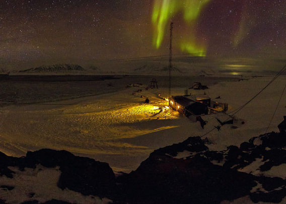
Panorama 4 – Farmhamna in the polar night (1)
- pano anchor link: #220131_Farmhamna_167
Farmhamna under northern light
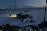
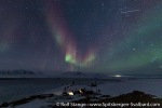
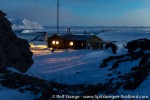
In the winter, Farmhamna is a completely different, yet utterly beautiful little world. Especially when the northern lights dance on the arctic winter sky! It is a great place to watch and photograph the northern light because there is hardly any light pollution. Of course the station has electrical light, also outside, but this is just a matter of pushing a button …
This panorama didn’t come out perfectly well, as you can see e.g. on the horizon which isn’t really a straight line. But the conditions were pretty challenging, with very low light, low temperatures and an icy breeze going.
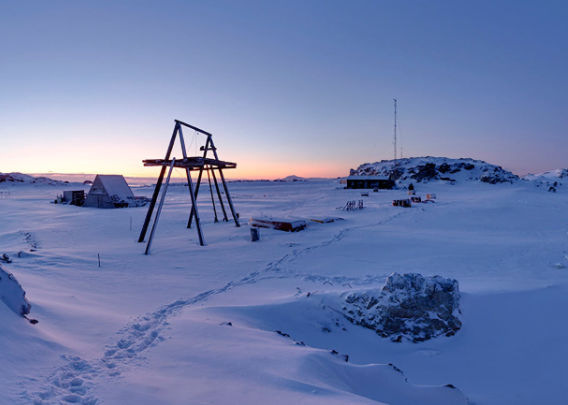
Panorama 5 – Farmhamna in the polar night (2)
- pano anchor link: #220202_Farmhamna_103HDR
Farmhamna in the polar night: the blue hours
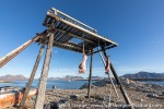
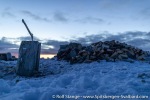
Another panorama of Farmhamna during the polar night, taken in early February at the brightest time of day. There is already twilight for several hours during the day – enough to move and work outside largely without artificial light. Here, we are close to the bay of Farmhamna which is filled with pancake ice and to the “kjøttstativ” (“meat stand”), a wooden construction to store meat, from seals (not relevant in Farmhamna) or reindeer, in a polar-bear-proof manner.
Farmhamna: photo gallery 1 (summer)
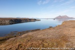
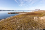
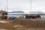
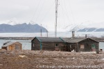
Some impressions of Farmhamna and surroundings during the summer. Some of the photos (those with a grey sky) were taken in 2008; some things have changed since then.
- gallery anchor link: #gallery_2178
Click on thumbnail to open an enlarged version of the specific photo.
Farmhamna: photo gallery 2 (winter)
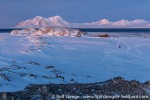
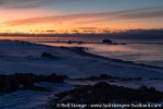
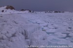
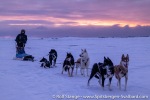
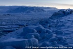
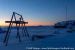
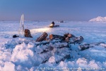
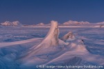
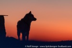
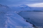
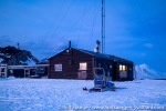
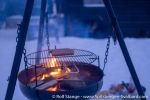
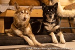
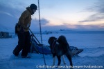
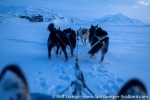
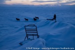
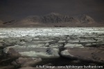
And here finally some winter photos from Farmhamna and surroundings.
- gallery anchor link: #gallery_2181
Click on thumbnail to open an enlarged version of the specific photo.
BOOKS, CALENDAR, POSTCARDS AND MORE
This and other publishing products of the Spitsbergen publishing house in the Spitsbergen-Shop.
last modification: 2025-02-23 ·
copyright: Rolf Stange

