-
current
recommendations- Liefdefjord
New page dedicated to one of Spitsbergen's most beautiful fjords. Background information and many photos.
- New Spitsbergen guidebook
The new edition of my Spitsbergen guidebook is out and available now!
- Liefdefjord
New page dedicated to one of Spitsbergen's most beautiful fjords. Background information and many photos.
Page Structure
-
Spitsbergen-News
- Select Month
- June 2025
- May 2025
- April 2025
- March 2025
- February 2025
- January 2025
- December 2024
- November 2024
- October 2024
- September 2024
- August 2024
- July 2024
- June 2024
- May 2024
- April 2024
- March 2024
- February 2024
- January 2024
- December 2023
- November 2023
- October 2023
- September 2023
- August 2023
- July 2023
- June 2023
- May 2023
- April 2023
- March 2023
- February 2023
- January 2023
- December 2022
- November 2022
- October 2022
- September 2022
- August 2022
- July 2022
- June 2022
- May 2022
- April 2022
- March 2022
- February 2022
- January 2022
- December 2021
- November 2021
- October 2021
- September 2021
- August 2021
- July 2021
- June 2021
- May 2021
- April 2021
- March 2021
- February 2021
- January 2021
- December 2020
- November 2020
- October 2020
- September 2020
- August 2020
- July 2020
- June 2020
- May 2020
- April 2020
- March 2020
- February 2020
- January 2020
- December 2019
- November 2019
- October 2019
- September 2019
- August 2019
- July 2019
- June 2019
- May 2019
- April 2019
- March 2019
- February 2019
- January 2019
- December 2018
- November 2018
- October 2018
- September 2018
- August 2018
- July 2018
- June 2018
- May 2018
- April 2018
- March 2018
- February 2018
- January 2018
- December 2017
- November 2017
- October 2017
- September 2017
- August 2017
- July 2017
- June 2017
- May 2017
- April 2017
- March 2017
- February 2017
- January 2017
- December 2016
- November 2016
- October 2016
- September 2016
- August 2016
- July 2016
- June 2016
- May 2016
- April 2016
- March 2016
- February 2016
- January 2016
- December 2015
- November 2015
- October 2015
- September 2015
- August 2015
- July 2015
- June 2015
- May 2015
- April 2015
- March 2015
- February 2015
- January 2015
- December 2014
- November 2014
- October 2014
- September 2014
- August 2014
- July 2014
- June 2014
- May 2014
- April 2014
- March 2014
- February 2014
- January 2014
- December 2013
- November 2013
- October 2013
- September 2013
- August 2013
- July 2013
- June 2013
- May 2013
- April 2013
- March 2013
- February 2013
- January 2013
- December 2012
- November 2012
- October 2012
- September 2012
- August 2012
- July 2012
- June 2012
- May 2012
- April 2012
- March 2012
- February 2012
- January 2012
- December 2011
- November 2011
- October 2011
- September 2011
- August 2011
- May 2011
- April 2011
- March 2011
- February 2011
- January 2011
- December 2010
- November 2010
- September 2010
- August 2010
- July 2010
- June 2010
- May 2010
- April 2010
- March 2010
- February 2010
- November 2009
- October 2009
- August 2009
- July 2009
- June 2009
- May 2009
- April 2009
- March 2009
- February 2009
- January 2009
- December 2008
- November 2008
- October 2008
- August 2008
- July 2008
- June 2008
- May 2008
- April 2008
- March 2008
- February 2008
- April 2000
- Select Month
-
weather information
-
Newsletter

| Guidebook: Spitsbergen-Svalbard |
Smittøya
Panorama of a small island in Hinlopen Strait
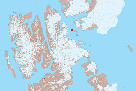
The little island of Smittøya is located in the middle of Hinlopen Strait.
There is a number of islands in Hinlopen Strait, between Spitsbergen and Nordaustland. Most of them are quite small. One of them is Smittøya, which is close to the northern point of Wahlbergøya.
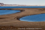
The shape of Smittøya is as conspicuous as charming: from northwest to southeast, it is 1.8 kilometres long, but it is less than 100 metres wide in the middle! Both far ends of the island are low hills, both of them just 16 metres high, which are connected by a low-lying gravel bar. Such a connection is called Tombolo in geomorphology.
Postglacial isostatic land uplift played an important role in the formation of the island as it is today, the Tombolo in particular. Currents, wind and waves provided sand and gravel from surrounding shallow areas, which could accumulate to form the gravel bridge between the two hills. These were just rocky underwater shallows before post-glacial isostatic land uplift really happened. Once that process started, the shallows turned into two very small, separate islets which were then connected by the Tombolo to shape today’s Smittøya. For the trained eye, this development is very obvious as soon as you see the island. And the bird’s eye view certainly makes it easier to see and understand the structures.
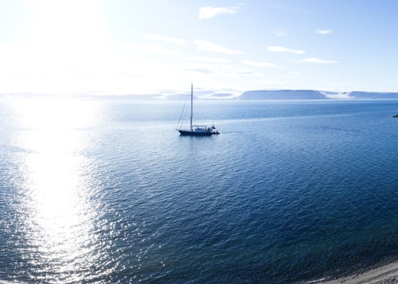
Panorama Smittøya (1): The central part – the Tombolo
This first panorama was taken on a beautiful day in August 2023 above the narrow central part of the island, the Tombolo. Here, it is just a couple of steps from one shore to the other.
- pano anchor link: #230817c_Smittoya_Pano
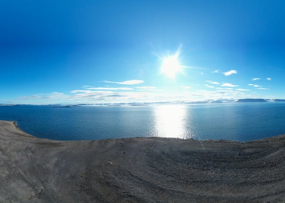
Panorama Smittøya (2): The southern part – a look at the geology
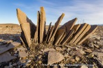
This second panorama was taken above the southern part of the island which is about 500 metres wide, exactly above the elevation of 16 metres. A closer look at the surface reveals the geological structure: on one side, on the eastern and northern side (towards the Tombolo), the ground consists of light-coloured carbonate rock. Weathering produces rather small-grained sediment (sharp-edged gravel) that produces a very flat surface. On the other side, in the southwest, the ground consists of diabas (a kind of rock very similar to basalt). Here, both the coarser rocks and the darker colour make for a marked contrast. Another peculiarity is the lack of ice wedges in the area consisting of diabas.
Most of the island consists of the light-coloured carbonate rocks, and even in the context of this small island, diabas comes as a local particularity.
- pano anchor link: #230817c_Smittoya_14
Panorama Smittøya (3): the southern part, once again
The third panorama was taken close to the southern end of Smittøya. Here, the underlying bedrock consists entirely of light-coloured carbonate rocks; the above-mentioned diabas is missing here, but it can be seen further north (the location of the previous panorama).
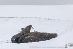
On the southern end, some walruses are hauled out on the beach.
- pano anchor link: #230817c_Smittoya_19
Panorama Smittøya (4): the central part, once again
And once again the narrow central part, in completely different weather conditions a few weeks later, in September.
- pano anchor link: #230917b_Smittoya_33
Photo gallery Smittøya
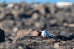
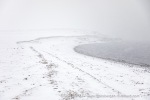
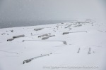
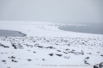
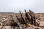
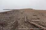
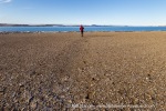
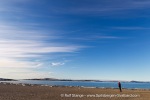
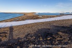
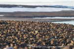
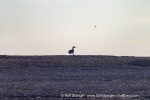
And last but not least, a collection of images for some more detail on the ground. Admmittedly, some of the pictures are a little bit repetitive, but so what … I enjoyed these details every time I have been able to visit Smittøya over the years. The island is small and the barren landscape makes it easy to focus on certain characteristics, most prominently the beautifully curved coastlines. And then there are the details of the coastal polar desert such as driftwood, rised beach ridges, …
- gallery anchor link: #gallery_3076
Click on thumbnail to open an enlarged version of the specific photo.
BOOKS, CALENDAR, POSTCARDS AND MORE
This and other publishing products of the Spitsbergen publishing house in the Spitsbergen-Shop.
last modification: 2024-06-22 ·
copyright: Rolf Stange
