-
current
recommendations- Liefdefjord
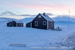
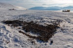
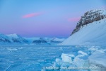
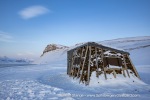
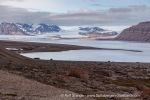
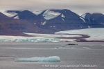
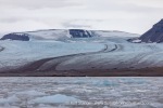
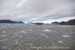
New page dedicated to one of Spitsbergen's most beautiful fjords. Background information and many photos.

- New Spitsbergen guidebook
The new edition of my Spitsbergen guidebook is out and available now!

- Liefdefjord
New page dedicated to one of Spitsbergen's most beautiful fjords. Background information and many photos.
Page Structure
-
Spitsbergen-News
- Select Month
- June 2025
- May 2025
- April 2025
- March 2025
- February 2025
- January 2025
- December 2024
- November 2024
- October 2024
- September 2024
- August 2024
- July 2024
- June 2024
- May 2024
- April 2024
- March 2024
- February 2024
- January 2024
- December 2023
- November 2023
- October 2023
- September 2023
- August 2023
- July 2023
- June 2023
- May 2023
- April 2023
- March 2023
- February 2023
- January 2023
- December 2022
- November 2022
- October 2022
- September 2022
- August 2022
- July 2022
- June 2022
- May 2022
- April 2022
- March 2022
- February 2022
- January 2022
- December 2021
- November 2021
- October 2021
- September 2021
- August 2021
- July 2021
- June 2021
- May 2021
- April 2021
- March 2021
- February 2021
- January 2021
- December 2020
- November 2020
- October 2020
- September 2020
- August 2020
- July 2020
- June 2020
- May 2020
- April 2020
- March 2020
- February 2020
- January 2020
- December 2019
- November 2019
- October 2019
- September 2019
- August 2019
- July 2019
- June 2019
- May 2019
- April 2019
- March 2019
- February 2019
- January 2019
- December 2018
- November 2018
- October 2018
- September 2018
- August 2018
- July 2018
- June 2018
- May 2018
- April 2018
- March 2018
- February 2018
- January 2018
- December 2017
- November 2017
- October 2017
- September 2017
- August 2017
- July 2017
- June 2017
- May 2017
- April 2017
- March 2017
- February 2017
- January 2017
- December 2016
- November 2016
- October 2016
- September 2016
- August 2016
- July 2016
- June 2016
- May 2016
- April 2016
- March 2016
- February 2016
- January 2016
- December 2015
- November 2015
- October 2015
- September 2015
- August 2015
- July 2015
- June 2015
- May 2015
- April 2015
- March 2015
- February 2015
- January 2015
- December 2014
- November 2014
- October 2014
- September 2014
- August 2014
- July 2014
- June 2014
- May 2014
- April 2014
- March 2014
- February 2014
- January 2014
- December 2013
- November 2013
- October 2013
- September 2013
- August 2013
- July 2013
- June 2013
- May 2013
- April 2013
- March 2013
- February 2013
- January 2013
- December 2012
- November 2012
- October 2012
- September 2012
- August 2012
- July 2012
- June 2012
- May 2012
- April 2012
- March 2012
- February 2012
- January 2012
- December 2011
- November 2011
- October 2011
- September 2011
- August 2011
- May 2011
- April 2011
- March 2011
- February 2011
- January 2011
- December 2010
- November 2010
- September 2010
- August 2010
- July 2010
- June 2010
- May 2010
- April 2010
- March 2010
- February 2010
- November 2009
- October 2009
- August 2009
- July 2009
- June 2009
- May 2009
- April 2009
- March 2009
- February 2009
- January 2009
- December 2008
- November 2008
- October 2008
- August 2008
- July 2008
- June 2008
- May 2008
- April 2008
- March 2008
- February 2008
- April 2000
- Select Month
-
weather information
-
Newsletter

| Guidebook: Spitsbergen-Svalbard |
Tempelfjord
Nature and history in innermost Isfjord
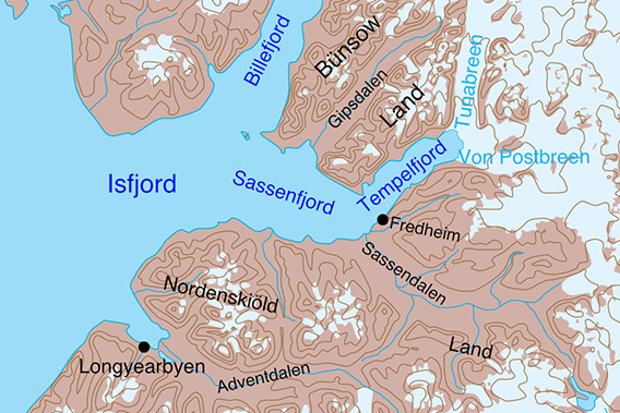
Sassenfjord and Tempelfjord are located in innermost Isfjord, north-east of Longyearbyen.
General
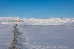
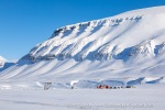
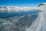
Tempelfjord is the innermost (easternmost) part of the Isfjord. The landscape is very beautiful, characterised by distinctive mountains such as Templet (‘The Temple’), which also gave the fjord its name. As Tempelfjord is close to Longyearbyen, it is a popular and very worthwhile destination for day trips both in summer by boat and in late winter (March/April) by snowmobile, which are offered as guided tours by various operators in Longyearbyen. From 1 March, however, snowmobiles are only allowed to cross the fjord ice on the shortest safe route between Fredheim and Kapp Murdoch (route to Pyramiden) or Kapp Schoultz (to reach the huts, not really a destination for tourists), stopping is only permitted if necessary for technical reasons. The fjord ice can be travelled on legally until the end of February, but at that time the fjord is rarely frozen solid enough (if at all). Non-motorised traffic is not affected by these legal restrictions.
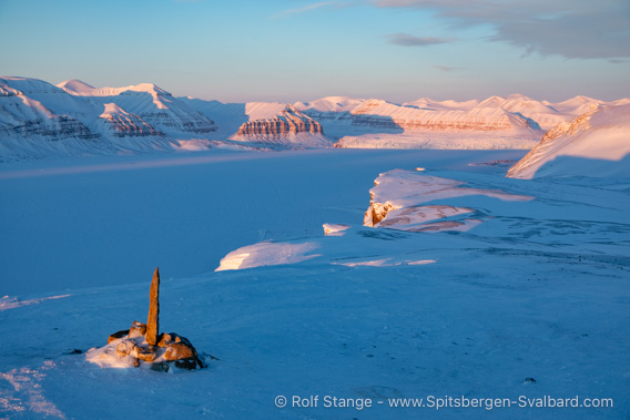
View from Mount Fjordnibba over the wintery Tempelfjord.
Impressions of winter tours in Tempelfjord (in part from times when the above-mentioned restrictions did not yet exist):
- April 2013
- May 2013
- April 2024 (in the inner Tempelfjord ski tour to Tunabreen)
Tempelfjord borders the glacier areas of eastern Spitsbergen (Sabine Land, Olav V Land). The outer part of this arm of the fjord is called Sassenfjord. This subdivision of a fjord by name is somewhat confusing. Geographically, it actually makes some sense, as the Sassenfjord is an extension of the Sassendalen (valley). Strictly speaking, the Tempelfjord is also a drowned side valley of this partially drowned Sassendalen-Sassenfjord valley. The Sassenfjord has its own page (click here).
Tempelfjord panorama
Some places in the Tempelfjord have their own pages with more photos, including 360-degree panoramic images, and more detailed information:
- Fredheim, one of Spitsbergen’s most famous trapper’s huts.
- Kapp Schoultz, where attempts were once made to mine gypsum (anhydrite).
- The mountain Fjordnibba with beautiful views over Tempelfjord.
- The impressive Tunabreen glacier in inner Tempelfjord.
- The ship in the ice no longer exists, but it was a very cool thing back then.
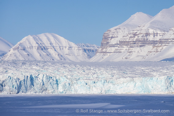
The Tunabreen glacier in innermost Tempelfjord in winter.
Geology
Essentially Permo-Carboniferous sediments, i.e. sedimentary rocks with an age of a good 300 million years. The Carboniferous consists of limestones, evaporites (anhydrite/gypsum) and clastic sediments (sandstone, etc.), while the overlying Permian consists mainly of the fossil-bearing limestones that can be found in many places in Svalbard.
Landscape
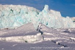
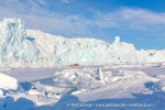
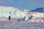
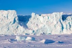
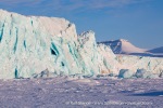
The scenic highlight in Tempelfjord, apart from the mountain that gives it its name, is the glacier front of Tunabreen. This used to share a calving front with Von Postbreen, but the latter has retreated so far that it no longer reaches the shore, but ends on land in a huge moraine landscape.
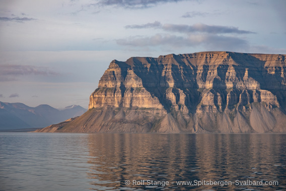
The eponymous mountain Templet on the north side of the fjord.
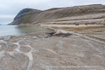
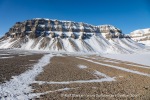
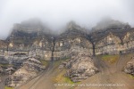
As in other places, the hard Permian carbonates here also form conspicuous steep steps in the mountain slopes, which are carved into tower-like protrusions by erosion. One of the most famous mountains in Spitsbergen is Templet, the ‘Temple Mountain’, on the north side of Tempelfjord, where these cliffs are particularly beautifully formed (as well as in Skansbukta on the west side of the Billefjord). Inside the fjord, the glaciers of Tunabreen and Von Postbreen and the surrounding mountain scenery are the obvious eye-catcher.
The coast on the north side of Tempelfjord is mostly steep, with mostly only narrow beaches and flat lowland limited to a few places. There are particularly beautiful series of ancient raised beach ridges in Gipsdalen and east of Tempelfjellet on Bjonapynten, the little peninsula next to Bjonahamna.

Raised beaches at Bjonahamna.
On the south side of the fjord, the mountains east of Sassendalen have the same structure as Templet. The mountain Fjordnibba to the east of Sassendalen is a popular excursion destination, especially in winter, with a great view of the fjord. Sassendalen is one of the largest ice-free valleys in Spitsbergen and its sheer size is impressive. In winter, it is a snowmobile motorway where you can quickly cover long distances; in summer, it is hard walking due to the extensive wetlands in the tundra and the large river.
Flora and fauna
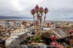
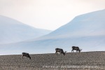
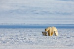
There are several bird cliffs on steep cliffs, such as Templet and Fjordnibba. There are many arctic foxes and reindeer in the area, and polar bears are also frequently seen.
A few impressions of the flora and fauna in Tempelfjord:
- gallery anchor link: #gallery_3444
Click on thumbnail to open an enlarged version of the specific photo.
History
Nothing is known of 16th century whalers in Tempelfjord; the Pomors were certainly active in the area. Intensive hunting by Norwegian trappers began in the late 19th century. Hilmar Nøis, already a legend on Spitsbergen during his lifetime, built himself a not-so-little house here with Fredheim – one of the few two-storey trapper’s huts on Spitsbergen, which turned into a cosy home after Nøis‘ wife moved in. His first wife did not like it, also due to mental problems during the polar night, but Nøis’ second wife, Helfrid Nøis, found it quite cosy and spent a number of years there together with Hilmar until it was finally time to retire due to age).
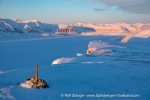
The Fredheim trapper station
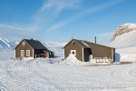
As mentioned, Hilmar Nøis’ famous trapper station Fredheim has its own page with a virtual tour, but let’s also have some photos here. In 2015, the three huts were towed a little further away from the shore to protect them from advancing coastal erosion. The first 6 pictures (up to the polar bears) show Fredheim in its original position before the move, then you can see the new, higher position.
- gallery anchor link: #gallery_3429
Click on thumbnail to open an enlarged version of the specific photo.
Tempelfjord: Gypsum mining at Kapp Schoultz
An attempt to mine gypsum took place early in the 20th century at Kapp Schoultz on the south side of Tempelfjord, and some remains of the mines are still visible. The deposit soon turned out to be economically worthless.
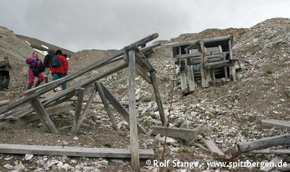
Remains of gypsum mining at Kapp Schoultz.
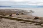
There are still two cabins at Kapp Schoultz today, both of which are private (one is used by an association in Longyearbyen, the other has private owners).
Photo collection: Kapp Schoultz
- gallery anchor link: #gallery_3432
Click on thumbnail to open an enlarged version of the specific photo.
Bjonahamna
Opposite Fredheim is the small bay Bjonahamna under the slopes of Templet on the north side of Tempelfjord, with beautiful series of fossil beach ridges on the headland Bjonapynten.
- gallery anchor link: #gallery_3447
Click on thumbnail to open an enlarged version of the specific photo.
Tempelfjord: Tunabreen, Von Postbreen
In the inner Tempelfjord, the glaciers of Tunabreen and Von Postbreen dominate the landscape, especially Tunabreen with its calving front.
- gallery anchor link: #gallery_3441
Click on thumbnail to open an enlarged version of the specific photo.
Picture collection Tempelfjord
Last but not least, a few more pictures of Tempelfjord.
- gallery anchor link: #gallery_3438
Click on thumbnail to open an enlarged version of the specific photo.
BOOKS, CALENDAR, POSTCARDS AND MORE
This and other publishing products of the Spitsbergen publishing house in the Spitsbergen-Shop.
last modification: 2024-12-21 ·
copyright: Rolf Stange


