-
current
recommendations- Liefdefjord
New page dedicated to one of Spitsbergen's most beautiful fjords. Background information and many photos.
- New Spitsbergen guidebook
The new edition of my Spitsbergen guidebook is out and available now!
- Liefdefjord
New page dedicated to one of Spitsbergen's most beautiful fjords. Background information and many photos.
Page Structure
-
Spitsbergen-News
- Select Month
- May 2025
- April 2025
- March 2025
- February 2025
- January 2025
- December 2024
- November 2024
- October 2024
- September 2024
- August 2024
- July 2024
- June 2024
- May 2024
- April 2024
- March 2024
- February 2024
- January 2024
- December 2023
- November 2023
- October 2023
- September 2023
- August 2023
- July 2023
- June 2023
- May 2023
- April 2023
- March 2023
- February 2023
- January 2023
- December 2022
- November 2022
- October 2022
- September 2022
- August 2022
- July 2022
- June 2022
- May 2022
- April 2022
- March 2022
- February 2022
- January 2022
- December 2021
- November 2021
- October 2021
- September 2021
- August 2021
- July 2021
- June 2021
- May 2021
- April 2021
- March 2021
- February 2021
- January 2021
- December 2020
- November 2020
- October 2020
- September 2020
- August 2020
- July 2020
- June 2020
- May 2020
- April 2020
- March 2020
- February 2020
- January 2020
- December 2019
- November 2019
- October 2019
- September 2019
- August 2019
- July 2019
- June 2019
- May 2019
- April 2019
- March 2019
- February 2019
- January 2019
- December 2018
- November 2018
- October 2018
- September 2018
- August 2018
- July 2018
- June 2018
- May 2018
- April 2018
- March 2018
- February 2018
- January 2018
- December 2017
- November 2017
- October 2017
- September 2017
- August 2017
- July 2017
- June 2017
- May 2017
- April 2017
- March 2017
- February 2017
- January 2017
- December 2016
- November 2016
- October 2016
- September 2016
- August 2016
- July 2016
- June 2016
- May 2016
- April 2016
- March 2016
- February 2016
- January 2016
- December 2015
- November 2015
- October 2015
- September 2015
- August 2015
- July 2015
- June 2015
- May 2015
- April 2015
- March 2015
- February 2015
- January 2015
- December 2014
- November 2014
- October 2014
- September 2014
- August 2014
- July 2014
- June 2014
- May 2014
- April 2014
- March 2014
- February 2014
- January 2014
- December 2013
- November 2013
- October 2013
- September 2013
- August 2013
- July 2013
- June 2013
- May 2013
- April 2013
- March 2013
- February 2013
- January 2013
- December 2012
- November 2012
- October 2012
- September 2012
- August 2012
- July 2012
- June 2012
- May 2012
- April 2012
- March 2012
- February 2012
- January 2012
- December 2011
- November 2011
- October 2011
- September 2011
- August 2011
- May 2011
- April 2011
- March 2011
- February 2011
- January 2011
- December 2010
- November 2010
- September 2010
- August 2010
- July 2010
- June 2010
- May 2010
- April 2010
- March 2010
- February 2010
- November 2009
- October 2009
- August 2009
- July 2009
- June 2009
- May 2009
- April 2009
- March 2009
- February 2009
- January 2009
- December 2008
- November 2008
- October 2008
- August 2008
- July 2008
- June 2008
- May 2008
- April 2008
- March 2008
- February 2008
- April 2000
- Select Month
-
weather information
-
Newsletter

| Guidebook: Spitsbergen-Svalbard |
Home
→ Spitsbergen information
→ Islands: Spitsbergen & Co.
→ Nordaustland
→ Wahlenbergfjord, Palanderbukta
Wahlenbergfjord/Palanderbukta
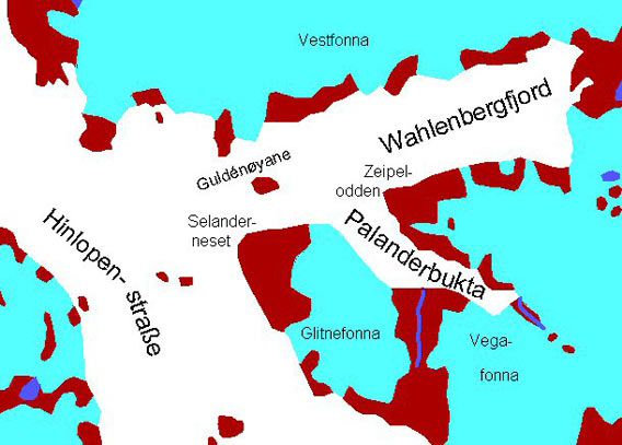
Fonna (Norwegian) = icecap
General: Wahlenbergfjord, named after a Swedish scientist of the early 19th century, is cutting deep from Hinlopen Strait into the western coast of Nordaustland, leaving only a relatively narrow bridge of ice free land between Wahlenbergfjord and Rijpfjord on the north coast, with just a good 20 km (as the crow flies) from coast to coast.
For more, detailed information: the Guidebook Spitsbergen-Svalbard
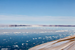
Wahlenbergfjord is often blocked by fjord ice well into the summer, and its northern and innermost parts are poorly charted and accordingly not visited by many ships. There are nevertheless several interesting landing sites, especially in Palanderbukta, which has got its name after a famous Swedish polar explorer, companion of Adolf Erik Nordenskiöld. For example, Palanderdalen and Zeipelodden offer good opportunities for scenic hikes.
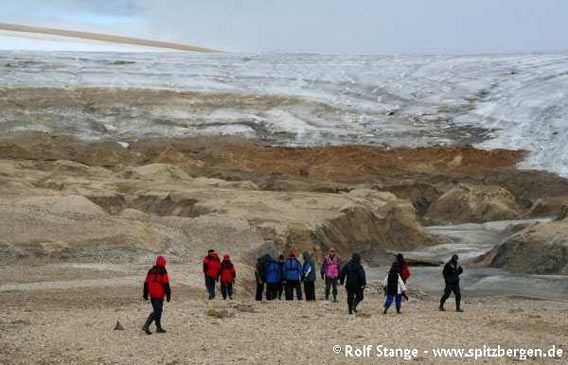
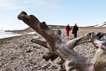
Hiking group in moraine landscape in Palanderbukta.
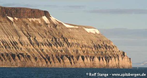
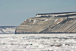
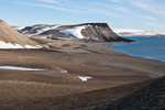
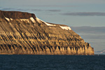
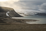
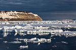
Selanderneset at the entrance of Wahlenbergfjord. Horizontal sedimentary layers have been cut by erosion to form slopes with regular towers. Basalt layer on top.
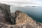
Geology: Basement (Hecla Hoek), consisting of weakly metamorphic, mostly steeply dipping sediments on the northern side. Guldénøyane are made up of diorite (basalt) as most islands in Hinlopen Strait. The south side of Wahlenbergfjord is characterized by horizontal layers of Carboniferous and Permian sediments, mostly very rich in carbonates and often with a lot of fossils. Dioritic intrusions have been exhumed by erosion to form wide exposed plateaux on the mountain tops.
Book recommendation for further, detailed and easily understandable (yes, really) information on the topics geology/landscape.
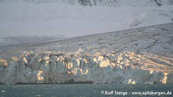
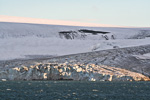
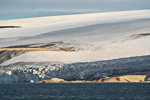
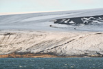
Gletscherfront, Wahlenbergfjord.
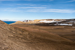
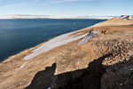
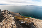
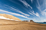
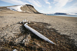
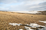
Landscape: Very wide and open. Wahlenbergfjord is almost completely surrounded by wide ice caps, but there are stripes of ice-free land mainly on its southern side, which are getting quite wide especially around Palanderbukta. Steep mountain slopes have been cut by erosion to form regularly protruding towers, which is very scenic. Parts of the coast are steep or, especially on the northern side of the fjord, dominated by glaciers with calving ice cliffs. Landing opportunities are accordingly mainly in Palanderbukta, which has impressive polar desert landscapes with perfectly developed frost patterned ground and all the typical traces of holocene glacio-isostatic land uplift in some places. The general appearance of the scenery is very barren and desert-like.
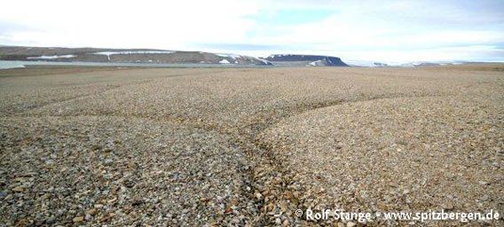
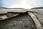
Barren polar desert with ice wedges in Palanderbukta.
Flora and Fauna: Wahlenbergfjord is a polar desert area as Nordaustland in general. Vegetation is accordingly scarse and mostly restricted to favourable locations and scattered Svalbard poppy and Purple saxifrage. Droppings and antlers are evidence of occasional reindeer roaming around, an amazing fact in such a barren environment. The nearest polar bear will never be very far away, especially when there is drift ice in the area, in which case it is not unlikely to find walrus resting on ice floes. There used to be small colonies of Ivory gulls on some slopes, but they seem to have gone.
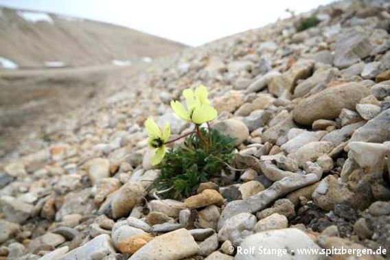
Svalbard poppy (Papaver dahlianum), Palanderbukta.
History: Wahlenbergfjord has been visited repeatedly by scientific expeditions in the 19th century, but without being the focus of attention, so it is historically not the most exciting place. There was a wintering of Norwegian trappers in the 20th century which ended in a tragedy. The two men probably died during an explosion in their main hut in Augustabukta in Hinlopen Strait. The ruin of a hut at Palanderdalen belonged to their hunting area.
The crew of the German war weather station Haudegen in Rijpfjord established a depot in Bodleybukta in innermost Wahlenbergfjord in case the station would be destroyed. Wahlenbergfjord is within reach during a day of forced marching from the location of the Haudegen station in Rijpfjord.
Gallery Wahlenbergfjord
- gallery anchor link: #gallery_420
Click on thumbnail to open an enlarged version of the specific photo.
BOOKS, CALENDAR, POSTCARDS AND MORE
This and other publishing products of the Spitsbergen publishing house in the Spitsbergen-Shop.
last modification: 2014-10-28 ·
copyright: Rolf Stange


