-
current
recommendations- Liefdefjord
New page dedicated to one of Spitsbergen's most beautiful fjords. Background information and many photos.
- New Spitsbergen guidebook
The new edition of my Spitsbergen guidebook is out and available now!
- Liefdefjord
New page dedicated to one of Spitsbergen's most beautiful fjords. Background information and many photos.
Page Structure
-
Spitsbergen-News
- Select Month
- May 2025
- April 2025
- March 2025
- February 2025
- January 2025
- December 2024
- November 2024
- October 2024
- September 2024
- August 2024
- July 2024
- June 2024
- May 2024
- April 2024
- March 2024
- February 2024
- January 2024
- December 2023
- November 2023
- October 2023
- September 2023
- August 2023
- July 2023
- June 2023
- May 2023
- April 2023
- March 2023
- February 2023
- January 2023
- December 2022
- November 2022
- October 2022
- September 2022
- August 2022
- July 2022
- June 2022
- May 2022
- April 2022
- March 2022
- February 2022
- January 2022
- December 2021
- November 2021
- October 2021
- September 2021
- August 2021
- July 2021
- June 2021
- May 2021
- April 2021
- March 2021
- February 2021
- January 2021
- December 2020
- November 2020
- October 2020
- September 2020
- August 2020
- July 2020
- June 2020
- May 2020
- April 2020
- March 2020
- February 2020
- January 2020
- December 2019
- November 2019
- October 2019
- September 2019
- August 2019
- July 2019
- June 2019
- May 2019
- April 2019
- March 2019
- February 2019
- January 2019
- December 2018
- November 2018
- October 2018
- September 2018
- August 2018
- July 2018
- June 2018
- May 2018
- April 2018
- March 2018
- February 2018
- January 2018
- December 2017
- November 2017
- October 2017
- September 2017
- August 2017
- July 2017
- June 2017
- May 2017
- April 2017
- March 2017
- February 2017
- January 2017
- December 2016
- November 2016
- October 2016
- September 2016
- August 2016
- July 2016
- June 2016
- May 2016
- April 2016
- March 2016
- February 2016
- January 2016
- December 2015
- November 2015
- October 2015
- September 2015
- August 2015
- July 2015
- June 2015
- May 2015
- April 2015
- March 2015
- February 2015
- January 2015
- December 2014
- November 2014
- October 2014
- September 2014
- August 2014
- July 2014
- June 2014
- May 2014
- April 2014
- March 2014
- February 2014
- January 2014
- December 2013
- November 2013
- October 2013
- September 2013
- August 2013
- July 2013
- June 2013
- May 2013
- April 2013
- March 2013
- February 2013
- January 2013
- December 2012
- November 2012
- October 2012
- September 2012
- August 2012
- July 2012
- June 2012
- May 2012
- April 2012
- March 2012
- February 2012
- January 2012
- December 2011
- November 2011
- October 2011
- September 2011
- August 2011
- May 2011
- April 2011
- March 2011
- February 2011
- January 2011
- December 2010
- November 2010
- September 2010
- August 2010
- July 2010
- June 2010
- May 2010
- April 2010
- March 2010
- February 2010
- November 2009
- October 2009
- August 2009
- July 2009
- June 2009
- May 2009
- April 2009
- March 2009
- February 2009
- January 2009
- December 2008
- November 2008
- October 2008
- August 2008
- July 2008
- June 2008
- May 2008
- April 2008
- March 2008
- February 2008
- April 2000
- Select Month
-
weather information
-
Newsletter

| Guidebook: Spitsbergen-Svalbard |
Home
→ * Photos, Panoramas, Videos and Webcams
→ Spitsbergen Panoramas
→ Depotodden: Oxford House
Brennevinsfjord: Depotodden - Oxford House
Base of the Oxford expedition in 1935-36
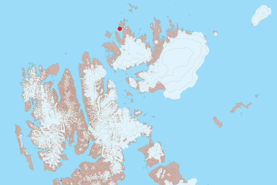
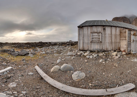
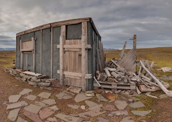
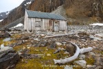
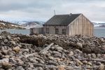
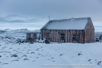
Depotodden with Oxford House is located in Brennevinsfjord on Nordaustland.
Depotodden: Oxford House: virtual tour
- pano anchor link: #Oxford-House
Hint
The map at the bottom left can be used to jump to any station. But you can also just let the entire tour run through automatically. The sound can be switched off via the button at the top right.
Stations
- Depotodden in Brennevinsfjord
- The Oxford expedition in 1935-36 under A.R. “Sandy” Glen: Oxford House
- Oxford House: the entrance (“Hall”)
- The “Bedroom”
- The main room
Depotodden in Brennevinsfjord
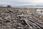
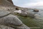
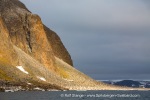
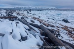
Brennevinsfjord (“Brandy Bay”) on the northwest side of Nordaustland is a very barren and rocky area. And Depotodden is a very barren and rocky little peninsula in this fjord. It is a limited area of flat land – quite rocky, just in case I haven’t mentioned it before – and cut off from the inland by steep rock cliffs. Near the shore, there is a hut that is actually almost a bit too large to be called a hut, it is rather a house, at least according to local standards.
- pano anchor link: #a7r_Depotodden_16Aug14_133HDR
The Oxford expedition in 1935-36 under A.R. “Sandy” Glen: Oxford House
„Oxford House“ (or, in Norwegian: Oxfordhuset) was built by the Oxford expedition in 1935, which was led by Alexander Richard „Sandy“ Glen (1912-2004). Glen was only 23 years old when the expedition left for Svalbard, but he had already been in the Arctic several times. The scientific main goal was Vestfonna, Nordaustland’s second largest ice cap. Additionally, the scientists were working on radio waves and geology.
- pano anchor link: #a7r_Depotodden_16Aug14_263HDR
Next to Glen, there were eight other Britons and the Norwegian Karl Bengtssen. The latter one had already spent a winter as a hunter in Brennevinsfjord in 1928-29. Back then, he had built a hut that was moved deeper into the fjord in 1935. It was put up again in Goosbukta to serve as an advance base near the edge of the inland ice. The layout of the expedition was roughly following Alfred Wegener’s expedition to Greenland in 1030-31, with the idea of gathering glaciological and meteorological data over a whole year in several locations from sea level to the top of the ice cap, where an ice station was built. Alfred Wegener died during that expedition, but scientifically, it was successful.
Oxford House: the entrance (“Hall”)
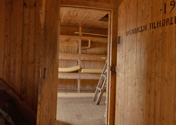
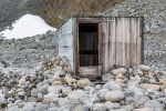
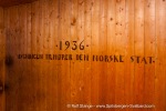
The entrance of Oxford House, where wet, cold gear could be stored and changed without either standing in the wind or getting cold air and snow from outside into the interiour. That is generally something that most huts in Spitsbergen used to have, smaller or larger. The writing on the wall is noteworthy: “Bygningen tilhører den norske stat”, “This building belongs to the Norwegian state”. After the wintering, the expedition got transport with the Norwegian government ship Heimland in exchange for good money and Oxford House.
- pano anchor link: #a7r_Depotodden_16Aug14_228HDR
It was one of the tasks of the Heimland-expedition to establish several emergency huts in remote parts of Svalbard for shipwrecked sailers. Three huts were built for this purpose: one on Phippsøya, one on Kong Karls Land and one on Frankenhalvøya on the north side of Barentsøya. In this context, Oxford House was certainly a welcome addition and definitely a bargain for the Norwegians!
The “Bedroom”
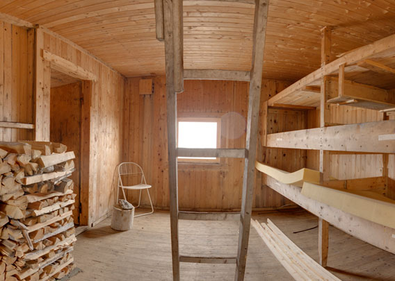
One might associate a higher degree of cosiness with a place called “bedroom” that what this room actually has to offer. During the 1935-36 wintering, however, mostly only two expedition members were at Oxford House, while the others were elsewhere in the field, in one of the secondary stations.
- pano anchor link: #a7r_Depotodden_16Aug14_187HDR
The main room
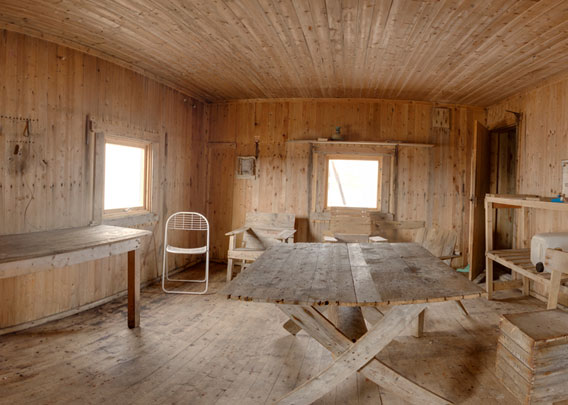
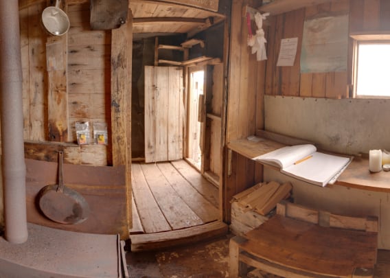
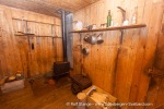
The main room, where most of the work and life took place. Glen himself described the base, Oxford House, as “like a barracks; gaunt, bare, and draughty.” Obviously, work came first and life second. But there was even electricity from a generator that was coupled to a bicycle, which, next to the power that was mainly used to run the radio, also provided physical exercise that was probably mostly very welcome, at least during the polar night.
- pano anchor link: #a7r_Depotodden_16Aug14_151HDR
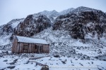
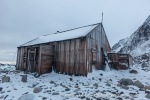
Oxford House – Hut from outside
- pano anchor link: #230904a_Worsleyneset_167HDR
Oxford House – Hut from inside
- pano anchor link: #230904a_Worsleyneset_129HDR
Photo gallery: Depotodden, Oxford House
Finally, a collection of photos with various impressions of Depotodden and the Oxford House from 2010 and 2014.
- gallery anchor link: #gallery_3551
Click on thumbnail to open an enlarged version of the specific photo.
BOOKS, CALENDAR, POSTCARDS AND MORE
This and other publishing products of the Spitsbergen publishing house in the Spitsbergen-Shop.
last modification: 2025-03-15 ·
copyright: Rolf Stange


