


-
current
recommendations- Liefdefjord
New page dedicated to one of Spitsbergen's most beautiful fjords. Background information and many photos.

- New Spitsbergen guidebook
The new edition of my Spitsbergen guidebook is out and available now!

- Liefdefjord
New page dedicated to one of Spitsbergen's most beautiful fjords. Background information and many photos.
-
weather information

| Guidebook: Spitsbergen-Svalbard |
Murchisonfjord: Kinnvika
Panorama of the IGY station built in 1957
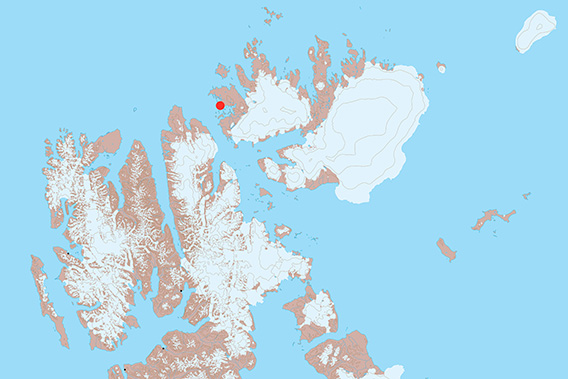
Kinnvika is located in Murchisonfjord on Nordaustland.
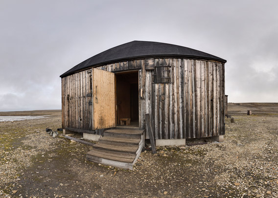
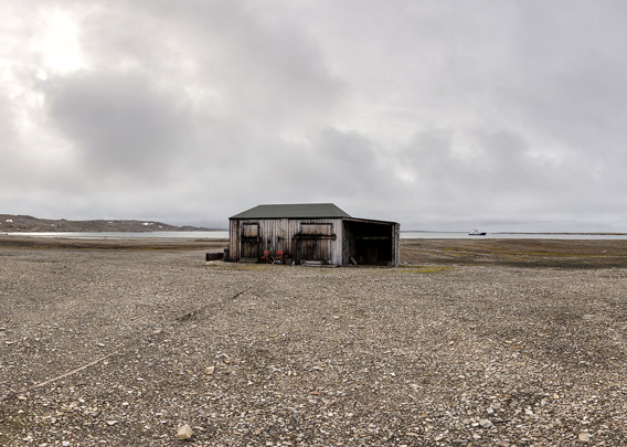
Kinnvika is certainly the most well-known place in Murchisonfjord. Situated in a well sheltered bay on the northern side of the fjord, it was a research station built during the International Geophysical Year 1957-59 mainly as a Swedish-Finnish effort. The station was quite substantial, with no less than 10 buildings spread over some area in case one of them would catch fire.
- pano anchor link: #Kinnvika_10Aug13_053
- pano anchor link: #Kinnvika_10Aug13_072
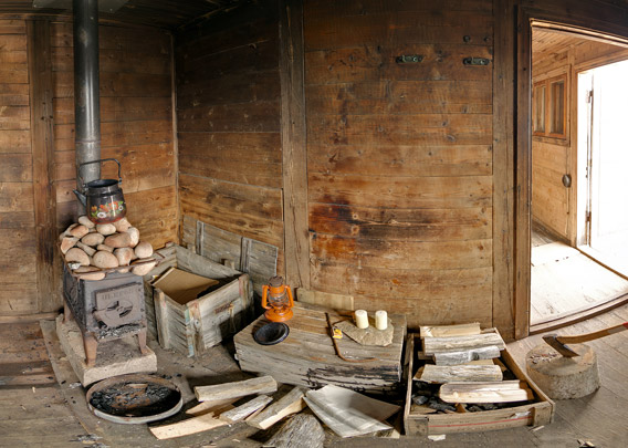
An old amphibian vehicle is still there and some other stuff, some of it dating back to the Geophysical Year 1957-59, others is younger: in 2003-04, Marie Tieche and Hauke Trinks wintered in Kinnvika. The station was again put into use, following the original intention of the place being a research area, during the latest International Polar Year of 2007-08, when scientists from 10 countries investigated the area in detail. The ice cap Vestfonna was an important focus of their work.
- pano anchor link: #Kinnvika_10Aug13_009
- pano anchor link: #Kinnvika_10Aug13_031
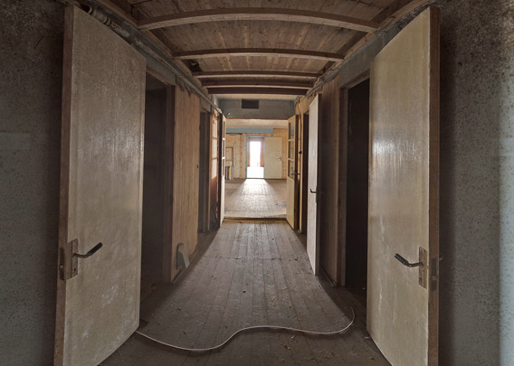
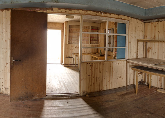
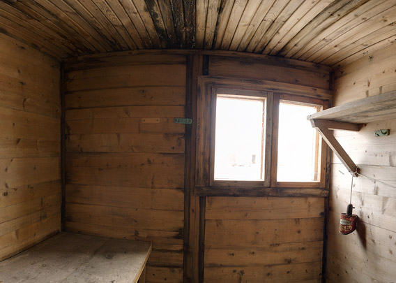
These two indoor panos are from the largest of the buildings in Kinnvika. Not much is left of the charme of an old polar station, it is quite empty and does not compare to the historical huts in Antarctica (Cape Evans or Cape Royds, for example), which look as if their original inhabitants had left just yesterday.
- pano anchor link: #Kinnvika_10Aug13_009
- pano anchor link: #Kinnvika_10Aug13_031
And of course the Swedish and Finnish guys from 1957-59 did not forget to build a sauna! It is certainly the northernmost one in Svalbard.
Kinnvika: Photo gallery
And finally some images from Kinnvika and surroundings, from the years 2018 to 2022.
- gallery anchor link: #gallery_2537
Click on thumbnail to open an enlarged version of the specific photo.


BOOKS, CALENDAR, POSTCARDS AND MORE
This and other publishing products of the Spitsbergen publishing house in the Spitsbergen-Shop.
-

Norwegens arktischer Norden (1): Spitzbergen
Photobook: Norway's arctic islands. The text in this book is German. [shop url="https://shop.spitzbergen.de/en/polar-books/70-norwegens-arktischer-norden-1-aerial-arctic-9783937903262.html"] ← BackOrder now -
Norwegens arktischer Norden (2): Aerial Arctic
Lofoten, Jan Mayen and Spitsbergen from the air - Photobook: Norway's arctic islands. The text in this book is German, but there is very little text, so I am sure that you will enjoy it regardless which languages you read (or not).Order now -
Poster “Svalbardhytter”
The poster "Svalbardhytter" (70 x 100 cm) visualizes the diversity of Spitsbergen's huts in a range of arctic landscapes.Order now -
Book “Svalbardhytter”
The companion book for the Svalbardhytter poster. The poster visualises the diversity of Spitsbergen‘s huts and their stories in a range of Arctic landscapes. The book tells the stories of the huts in three languages.Order now -
Spitsbergen – Svalbard. The complete guidebook
Comprehensive guidebook about Spitsbergen. Background (wildlife, plants, geology, history etc.), practical information including travelling seasons, how to travel, description of settlements, routes and regions.Order now -
Rocks and Ice. Landscapes of the North
A geographical traveling accompaniment to Spitsbergen and East Greenland (68-74°N). This is the English edition of the German book "Steine und Eis".Order now -
East Greenland in Winter
Join an exciting journey with dog, skis and tent through the wintery wastes of East Greenland! We were five guys and a dog when we started in Ittoqqortoormiit, the northernmost one of two settlements on Greenland’s east coast.Order now -
Postcard set Spitsbergen (Svalbard)
12 Spitsbergen postcards in a beautifully designed tray. Individually numbered limited edition!Order now -
Limited edition postcard set Antarctica
12 postcards which come in a beautifully designed tray. Beautiful images from South Georgia across Antarctica from the Antarctic Peninsula to the Ross Sea and up to Macquarie Island and Campbell Island.Order now
last modification: 2022-11-10 ·
copyright: Rolf Stange
-
Books, Calendar, Postcards and more

-


