-
current
recommendations- Liefdefjord
New page dedicated to one of Spitsbergen's most beautiful fjords. Background information and many photos.

- New Spitsbergen guidebook
The new edition of my Spitsbergen guidebook is out and available now!

- Liefdefjord
New page dedicated to one of Spitsbergen's most beautiful fjords. Background information and many photos.
Page Structure
-
Spitsbergen-News
- Select Month
- June 2025
- May 2025
- April 2025
- March 2025
- February 2025
- January 2025
- December 2024
- November 2024
- October 2024
- September 2024
- August 2024
- July 2024
- June 2024
- May 2024
- April 2024
- March 2024
- February 2024
- January 2024
- December 2023
- November 2023
- October 2023
- September 2023
- August 2023
- July 2023
- June 2023
- May 2023
- April 2023
- March 2023
- February 2023
- January 2023
- December 2022
- November 2022
- October 2022
- September 2022
- August 2022
- July 2022
- June 2022
- May 2022
- April 2022
- March 2022
- February 2022
- January 2022
- December 2021
- November 2021
- October 2021
- September 2021
- August 2021
- July 2021
- June 2021
- May 2021
- April 2021
- March 2021
- February 2021
- January 2021
- December 2020
- November 2020
- October 2020
- September 2020
- August 2020
- July 2020
- June 2020
- May 2020
- April 2020
- March 2020
- February 2020
- January 2020
- December 2019
- November 2019
- October 2019
- September 2019
- August 2019
- July 2019
- June 2019
- May 2019
- April 2019
- March 2019
- February 2019
- January 2019
- December 2018
- November 2018
- October 2018
- September 2018
- August 2018
- July 2018
- June 2018
- May 2018
- April 2018
- March 2018
- February 2018
- January 2018
- December 2017
- November 2017
- October 2017
- September 2017
- August 2017
- July 2017
- June 2017
- May 2017
- April 2017
- March 2017
- February 2017
- January 2017
- December 2016
- November 2016
- October 2016
- September 2016
- August 2016
- July 2016
- June 2016
- May 2016
- April 2016
- March 2016
- February 2016
- January 2016
- December 2015
- November 2015
- October 2015
- September 2015
- August 2015
- July 2015
- June 2015
- May 2015
- April 2015
- March 2015
- February 2015
- January 2015
- December 2014
- November 2014
- October 2014
- September 2014
- August 2014
- July 2014
- June 2014
- May 2014
- April 2014
- March 2014
- February 2014
- January 2014
- December 2013
- November 2013
- October 2013
- September 2013
- August 2013
- July 2013
- June 2013
- May 2013
- April 2013
- March 2013
- February 2013
- January 2013
- December 2012
- November 2012
- October 2012
- September 2012
- August 2012
- July 2012
- June 2012
- May 2012
- April 2012
- March 2012
- February 2012
- January 2012
- December 2011
- November 2011
- October 2011
- September 2011
- August 2011
- May 2011
- April 2011
- March 2011
- February 2011
- January 2011
- December 2010
- November 2010
- September 2010
- August 2010
- July 2010
- June 2010
- May 2010
- April 2010
- March 2010
- February 2010
- November 2009
- October 2009
- August 2009
- July 2009
- June 2009
- May 2009
- April 2009
- March 2009
- February 2009
- January 2009
- December 2008
- November 2008
- October 2008
- August 2008
- July 2008
- June 2008
- May 2008
- April 2008
- March 2008
- February 2008
- April 2000
- Select Month
-
weather information
-
Newsletter

| Guidebook: Spitsbergen-Svalbard |
Home
→ Spitsbergen information
→ Islands: Spitsbergen & Co.
→ Spitsbergen (Northern part)
→ Raudfjord
Raudfjord
Photos and background information
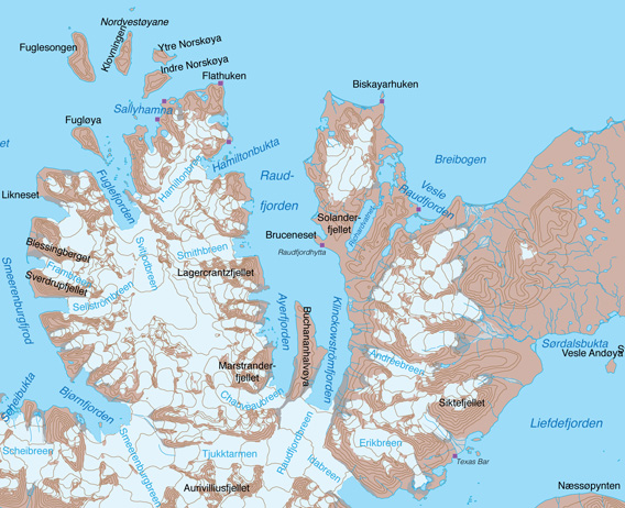
Raudfjord.
Photo galleries Raudfjord
There are several photo galleries at the bottom of this page to illustrate the various beautiful sides of Raudfjord. Scroll down or click on one of these links:
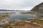
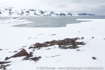
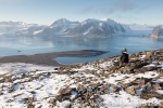
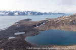
- Photo gallery Raudfjord 1: some impression from here and there in the fjord.
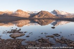
- Photo gallery Raudfjord 2: Hamiltonbukta.
- Photo gallery Raudfjord 3: east side – Alicehamna, Bruceneset, Solanderfjellet.
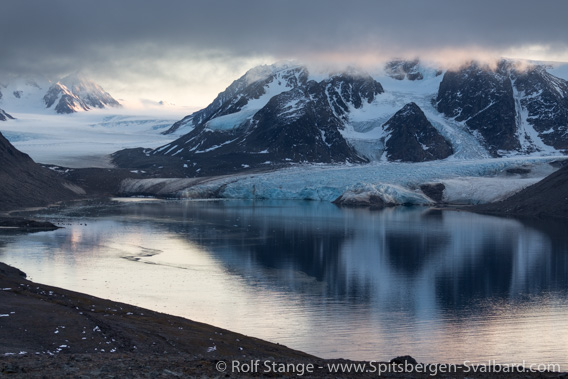
Inner Raudfjord. This branch is called Ayerfjord.
Raudfjord: General
Raudfjord is the westernmost fjord on Spitsbergen’s north coast. It is a small fjord, at least compared to its neighbours further east, Woodfjord and Wijdefjord. Raudfjord is about 20 km long and 5 km wide.
Raudfjord – the name means “Red Bay”, which used to be the name in historical times – is a very scenic fjord, and rich in contrasts. Some parts are good for ship or Zodiac cruising, other places afford space for little walks or mountain hikes. Raudfjord is part of the Northwest Spitsbergen National Park.
Panoramas Raudfjord
I have got a couple of panoramas which make it possible to take a quick and easy virtual tour to some places in Raudfjord:
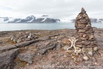
- Alicehamna, Bruceneset, Solanderfjellet: Raudfjordhytta – the hut built by Stockholm-Svens – Erik Mattilas’ grave which has a beautiful view and Solanderfjellet which has an even more beautiful view.
- Hamiltonbukta: rugged mountain walls and glaciers.
Geology
There ist a strong geological contrast between the east and the west side of Raudfjord, due to a large fault that runs along the fjord. It separates a tectonic uplift area in the west, where old, stratigraphically low, hard, crystalline basement rocks such as gneiss are exposed, from an area of ancient tectonic subsidence – a graben – which is filled with sediments, the so-called Old Red sandstone from the Devonian. Now, this is the geology of the whole area in just one sentence 🙂
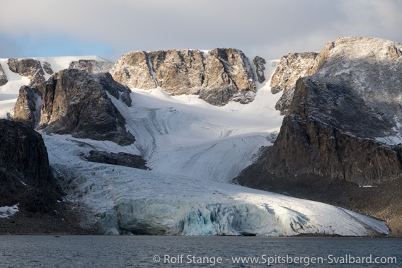
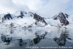
Rugged, steep mountain walls on the west side of Raudfjord,
carved into hard basement rocks.
The basement rocks are really old: geologists have found signals of tectonically intense events dating back as far as one billion years in long-lived crystals in the gneisses on the west side of Raudfjord. Compared to that, the Old Red on the east side of the fjord, appears almost young: being deposited during the Devonian, it is between 350 and 400 million years old. Only! 🙂 These sediments are collectively called Old Red, which is a proper description, although the reddish colour is not necessarily very intense in Raudfjord. It is stronger in parts of Liefdefjord and Woodfjord.

Less steep and mostly glacier-free landscape carved in Old Red sandstone
on the east side of Raudfjord.
Landscape
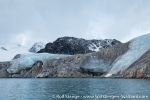
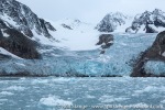
The geological contrast is the main reason different kinds of landscapes on either side of the fjord: the west side, which consists of hard, uplifted basement rocks, is much steeper and more rugged. The mountains are higher and the inland is heavily glaciated. Depending on how you count, there are 10-12 glaciers that reach sea level on the east side (including the large ones at the bottom of the fjord), framed by more or less near-vertical mountain walls.
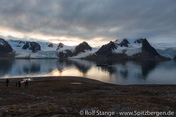
Landscape contrasts in Raudfjord: View from the eastern shore
across the fjord to the steep western side.
Compared to the west side, the ice-free east side of the fjord appears almost mild, with less steep geomorphology and more accessible terrain near sea level. There is at least some space for walks and hikes, including some interesting mountains.
Flora and Fauna
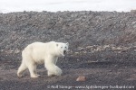
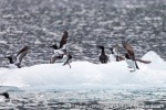
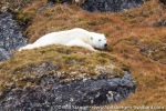
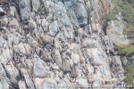
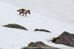
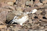
There are some bird cliffs on the steep mountain sides with Brünich’s guillemots and kittiwakes, for example in Hamiltonbukta. Arctic foxes have their territory near the birdcliffs, and it is quite common to see polar bears roaming around in Raudfjord.
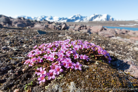
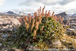
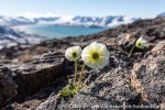
Purple saxifrage.
History
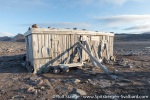
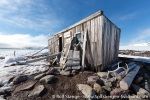
Wintering from Pomors (Russian hunters) and scandinavian trappers are known from the last centuries. The hut in Alicehamna, aptly called Raudfjordhytta, wwas built by a Swede then known as Stockholm-Sven. If you have read the Spitsbergen classic A woman in the polar night written by Christiane Ritter, then you will know that Stockholm-Sven was Ritter’s next neighbour. But they didn’t manage to visit each other.
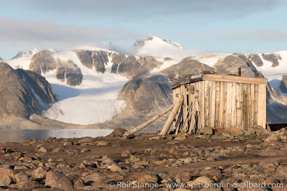
Raudfjordhytta: Stockholm-Sven’s wintering hut.
Photo gallery Raudfjord 1: some impression from here and there within the fjord
Just as the name suggests.
- gallery anchor link: #gallery_1847
Click on thumbnail to open an enlarged version of the specific photo.
Photo gallery Raudfjord 2: Hamiltonbukta
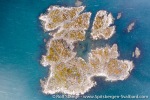
Steep mountain walls, glaciers, small islands and bird cliffs.
- gallery anchor link: #gallery_1844
Click on thumbnail to open an enlarged version of the specific photo.
Photo gallery Raudfjord: east side – Alicehamna, Bruceneset, Solanderfjellet
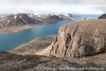
Stockholm-Sven’s old hut near the beach. It is only a short walk from there to skipper Erik Mattilas’ grave on top of a little hill, but the view is beautiful. And it is even better if you do a hike up to Solanderfjellet.
- gallery anchor link: #gallery_1841
Click on thumbnail to open an enlarged version of the specific photo.
BOOKS, CALENDAR, POSTCARDS AND MORE
This and other publishing products of the Spitsbergen publishing house in the Spitsbergen-Shop.
last modification: 2020-08-30 ·
copyright: Rolf Stange
